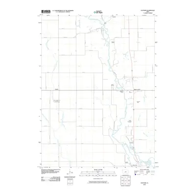
2010 Map of Panther
USGS Topo · Published 2010About this map
North Raccoon River snakes through this rural Iowa landscape, defining the topography of central Dallas County. The 2010 survey highlights a region shaped by agricultural tradition and long-standing community landmarks, such as the Panther Creek Church of the Brethren and the nearby Panther Creek Cemetery. The settlement of Panther sits at the junction of modern roadways, while Black Corners remains a notable point of reference further east.
Find a feature on this map
53 named features on this map. Tap any name to fly to it.
Don’t see what you’re looking for? This feature index may not catch every label — zoom into the map to look around manually.
Map Details
Editions of this 2010 Panther Map
This is the sole edition of this map. No revisions or reprints were ever made.
Other maps of this area

1908 · Waukee
USGS Topo · 1:62,500

1911 · Madrid
USGS Topo · 1:62,500

1914 · Madrid
USGS Topo · 1:62,500

1949 · Adel
USGS Topo · 1:62,500

1950 · Perry
USGS Topo · 1:62,500

1951 · Perry
USGS Topo · 1:62,500

1951 · Adel
USGS Topo · 1:62,500

1954 · Omaha
USGS Topo · 1:250,000

1954 · Des Moines
USGS Topo · 1:250,000

1956 · Des Moines
USGS Topo · 1:250,000