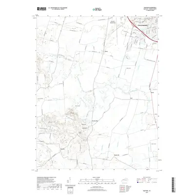
2019 Map of Panther
USGS Topo · Published 2019About this map
Owensboro anchor the northern edge of this Daviess County landscape, where the urban grid gives way to the intricate drainage basins of the Panther Creek system. The terrain is defined by a series of low-lying wetlands and improved drainage channels like Wolf Br Ditch and Vance Ditch, which support the agricultural tracts surrounding settlements like Moseleyville and Rome. To the southwest, the topography becomes more varied near Windy Hollow, where elevations rise to named summits including Zion Hill and Nickel Ridge. This area shows a distinct transition from the regional transportation hub at the Owensboro-Daviess County Regional Airport to the rural south, where small communities such as Panther and Handyville are connected by a network of local routes like Ashbyburg Rd and Vanover Rd.
Find a feature on this map
105 named features on this map. Tap any name to fly to it.
Don’t see what you’re looking for? This feature index may not catch every label — zoom into the map to look around manually.
Map Details
Editions of this 2019 Panther Map
This is the sole edition of this map. No revisions or reprints were ever made.
Other maps of this area

1901 · Owensboro
USGS Topo · 1:62,500

1905 · Newburg
USGS Topo · 1:62,500

1906 · Sutherland
USGS Topo · 1:62,500

1908 · Calhoun
USGS Topo · 1:62,500

1952 · Owensboro East
USGS Topo · 1:24,000

1952 · Owensboro West
USGS Topo · 1:24,000

1952 · Reed
USGS Topo · 1:24,000

1952 · Calhoun
USGS Topo · 1:24,000

1953 · Sutherland
USGS Topo · 1:24,000

1953 · Utica
USGS Topo · 1:24,000