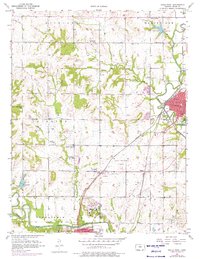
1957 Map of Paola West
USGS Topo · Published 1976About this map
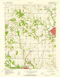
Paola and Osawatomie serve as the primary hubs in this mid-century survey of Miami County, where a dense network of country schools like Lone Star Sch and Oak Grove Sch reveals the rural community structure of the time. The landscape is defined by the winding course of the Marais Des Cygnes River to the south and Bull Creek to the east, supporting local infrastructure such as the Waterworks and Sewage Disposal. A significant industrial footprint is visible through numerous Oil Wells scattered across the Richland and Stanton townships. Transportation infrastructure is well-established, featuring the Missouri Pacific and St Louis San Francisco railroads alongside the Osawatomie-Paola Airport. Notable institutions including the large State Hospital complex and several rural churches like Plum Creek Ch highlight the area's development during the 1950s.
Find a feature on this map
44 named features on this map. Tap any name to fly to it.
Don’t see what you’re looking for? This feature index may not catch every label — zoom into the map to look around manually.
Map Details
Editions of this 1957 Paola West Map
2 editions found
Other maps of this area

1885 · Garnett
USGS Topo · 1:125,000

1885 · Lawrence
USGS Topo · 1:125,000

1887 · Olathe
USGS Topo · 1:125,000

1887 · Mound City
USGS Topo · 1:125,000

1889 · Lawrence
USGS Topo · 1:125,000

1893 · Mound City
USGS Topo · 1:125,000

1893 · Olathe
USGS Topo · 1:125,000

1894 · Garnett
USGS Topo · 1:125,000

1947 · Lawrence
USGS Topo · 1:250,000

1950 · Lawrence
USGS Topo · 1:250,000