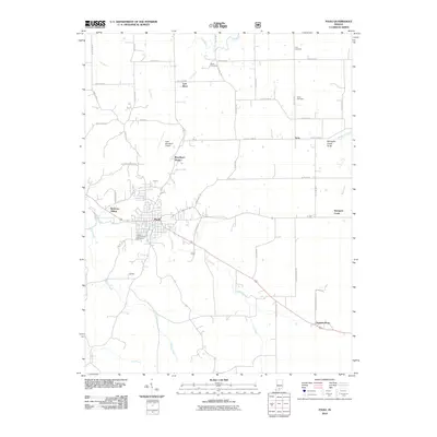
2010 Map of Paoli
USGS Topo · Published 2010About this map
Paoli serves as the hub of this 2010 survey, showing the town's street grid and the surrounding rural landscapes of Orange County. The terrain is defined by its complex hydrology, featuring the Lost River and Lick Creek, alongside the geological curiosity of the Stampers Creek Sinks. These natural drainage patterns historically influenced the placement of early settlements and road networks. Smaller communities and named locales such as Syria and Chambersburg remain visible, reflecting the long-standing agricultural and residential character of the region.
Find a feature on this map
51 named features on this map. Tap any name to fly to it.
Don’t see what you’re looking for? This feature index may not catch every label — zoom into the map to look around manually.
Map Details
Editions of this 2010 Paoli Map
This is the sole edition of this map. No revisions or reprints were ever made.
Other maps of this area

1947 · Hardinsburg
USGS Topo · 1:24,000

1949 · Hardinsburg
USGS Topo · 1:24,000

1949 · Georgia
USGS Topo · 1:24,000

1950 · Mitchell
USGS Topo · 1:24,000

1950 · Valeene
USGS Topo · 1:24,000

1951 · French Lick
USGS Topo · 1:24,000

1951 · Georgia
USGS Topo · 1:24,000

1956 · Greenbrier
USGS Topo · 1:24,000

1956 · Vincennes
USGS Topo · 1:250,000

1957 · Vincennes
USGS Topo · 1:250,000