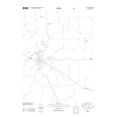
2013 Map of Paoli
USGS Topo · Published 2013About this map
Paoli serves as the central hub for this portion of Orange County, where the convergence of State Routes 37 and 56 defines the local transit pattern. The landscape is marked by the unique karst topography of the region, specifically evidenced by the Stampers Creek Sinks and the meandering path of the Lost River, which disappears and reappears through the limestone terrain. Moving east toward Chambersburg, the map reveals a transition from the urban grid of the county seat to a more rural, agrarian layout. Small communities like Syria and Woodlawn Grove are scattered across the landscape, while industrial and logistical points such as Braxtons Siding and the Paoli Municipal Airport indicate the modern infrastructure supporting the local economy. Waterways like Lick Cr and Willow Cr further define the drainage patterns south of the town center, providing a detailed look at the area's natural hydrology.
Find a feature on this map
81 named features on this map. Tap any name to fly to it.
Don’t see what you’re looking for? This feature index may not catch every label — zoom into the map to look around manually.
Map Details
Editions of this 2013 Paoli Map
This is the sole edition of this map. No revisions or reprints were ever made.
Other maps of this area

1947 · Hardinsburg
USGS Topo · 1:24,000

1949 · Hardinsburg
USGS Topo · 1:24,000

1949 · Georgia
USGS Topo · 1:24,000

1950 · Mitchell
USGS Topo · 1:24,000

1950 · Valeene
USGS Topo · 1:24,000

1951 · French Lick
USGS Topo · 1:24,000

1951 · Georgia
USGS Topo · 1:24,000

1956 · Greenbrier
USGS Topo · 1:24,000

1956 · Vincennes
USGS Topo · 1:250,000

1957 · Vincennes
USGS Topo · 1:250,000