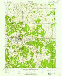
1957 Map of Paoli
USGS Topo · Published 1958About this map
The town of Paoli serves as the central hub of this 1957 study, situated at the crossroads of numerous country routes and the Monon railroad. The landscape to the south is dominated by the Hoosier National Forest and the specific tract of the Pioneer Mothers Memorial National Forest, reflecting a region defined by managed timberlands and rolling hills. The Treaty Boundary cuts across the northwest, providing a clear cartographic link to the early surveying and land division of southern Indiana.
Find a feature on this map
42 named features on this map. Tap any name to fly to it.
Don’t see what you’re looking for? This feature index may not catch every label — zoom into the map to look around manually.
Map Details
Editions of this 1957 Paoli Map
This is the sole edition of this map. No revisions or reprints were ever made.
Other maps of this area

1947 · Hardinsburg
USGS Topo · 1:24,000

1949 · Hardinsburg
USGS Topo · 1:24,000

1949 · Georgia
USGS Topo · 1:24,000

1950 · Mitchell
USGS Topo · 1:24,000

1950 · Valeene
USGS Topo · 1:24,000

1951 · French Lick
USGS Topo · 1:24,000

1951 · Georgia
USGS Topo · 1:24,000

1956 · Greenbrier
USGS Topo · 1:24,000

1956 · Vincennes
USGS Topo · 1:250,000

1957 · Vincennes
USGS Topo · 1:250,000