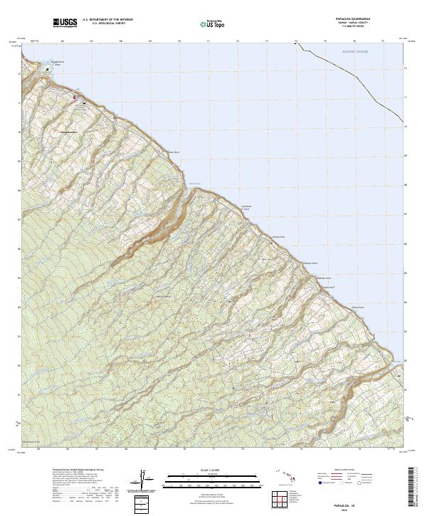
2024 Map of Papaaloa
USGS Topo · Published 2024About this map
The coastal settlement of Laupahoehoe anchors this section of the Hamakua Coast, where deep gulches and numerous streams meet the Pacific. The landscape is defined by its dramatic hydrology, with features like Maulua Stream and Ninole Stream carving through the volcanic slopes. Local history is centered around the Laupahoehoe Point Cem and Saint Anthony's Catholic Church Cem, reflecting the area's long-standing community foundations.
Find a feature on this map
76 named features on this map. Tap any name to fly to it.
Don’t see what you’re looking for? This feature index may not catch every label — zoom into the map to look around manually.
Map Details
Editions of this 2024 Papaaloa Map
This is the sole edition of this map. No revisions or reprints were ever made.
Other maps of this area

1915 · Hamakua
USGS Topo · 1:62,500

1915 · Honomu
USGS Topo · 1:62,500

1954 · Hawaii North
USGS Topo · 1:250,000

1956 · Pua Akala
USGS Topo · 1:24,000

1956 · Keanakolu
USGS Topo · 1:24,000

1957 · Kukaiau
USGS Topo · 1:24,000

1959 · Hawaii North
USGS Topo · 1:250,000

1961 · Hawaii North
USGS Topo · 1:250,000
1966 · Akaka Falls
USGS Topo · 1:24,000
1966 · Papaikou
USGS Topo · 1:24,000