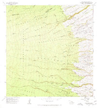
1966 Map of Akaka Falls
USGS Topo · Published 1967About this map
The windward slopes of the Island of Hawaii are defined here by deeply incised gulches and a landscape shaped by significant rainfall and agricultural history. Akaka Falls State Park centers the northern section, featuring the plummeting Akaka Falls and Kahuna Falls along Kolekole Stream. The terrain is divided between the dense wilderness of the Hakalau Forest Reserve and the coastal agricultural zones where Kaupakuea Homesteads and Kaieie Homesteads reflect early 20th-century land settlement patterns.
Find a feature on this map
85 named features on this map. Tap any name to fly to it.
Don’t see what you’re looking for? This feature index may not catch every label — zoom into the map to look around manually.
Map Details
Editions of this 1966 Akaka Falls Map
This is the sole edition of this map. No revisions or reprints were ever made.
Other maps of this area

1915 · Honomu
USGS Topo · 1:62,500

1917 · Hilo
USGS Topo · 1:62,500

1930 · Humuula
USGS Topo · 1:62,500

1932 · Hilo
USGS Topo · 1:62,500

1954 · Hawaii North
USGS Topo · 1:250,000

1956 · Pua Akala
USGS Topo · 1:24,000

1956 · Keanakolu
USGS Topo · 1:24,000

1956 · Upper Piihonua
USGS Topo · 1:24,000

1959 · Hawaii North
USGS Topo · 1:250,000

1961 · Hawaii North
USGS Topo · 1:250,000