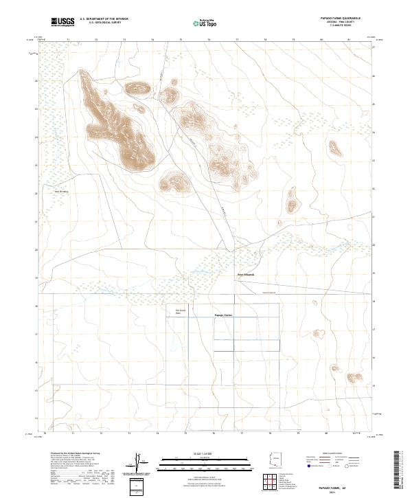
2021 Map of Papago Farms
USGS Topo · Published 2021About this map
The Great Plain of Pima County defines the character of this borderland landscape, where agricultural infrastructure meets the wide drainage systems of the Sonoran Desert. The map centers on the organized grid of Papago Farms, a significant local development served by Papago Farms Rd. This area is characterized by its ephemeral watercourses, specifically the braided channels of Chukut Kuk Wash and San Simon Wash, which dictate the placement of roads and settlements. Near the northern foothills, Indian Rte 21 snakes through the topography toward Stan Shuatuk, while the western edge of the sheet transitions into the Kom Vo Valley. The survey provides a clear view of how modern ranching and desert habitation align with the natural contours and seasonal washes of the region.
Find a feature on this map
12 named features on this map. Tap any name to fly to it.
Don’t see what you’re looking for? This feature index may not catch every label — zoom into the map to look around manually.
Map Details
Editions of this 2021 Papago Farms Map
This is the sole edition of this map. No revisions or reprints were ever made.
Other maps of this area

1954 · Sonoyta
USGS Topo · 1:250,000

1963 · Kom Vo
USGS Topo · 1:62,500

1963 · Gu Oidak
USGS Topo · 1:62,500
1963 · La Lesna Mts.
USGS Topo · 1:62,500

1963 · Lukeville
USGS Topo · 1:250,000
1988 · Kom Vo
USGS Topo · 1:24,000
1988 · South of Bailey Peak
USGS Topo · 1:24,000
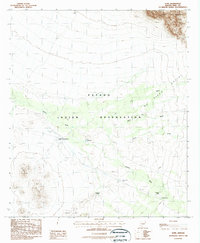
1988 · Kupk
USGS Topo · 1:24,000
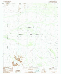
1988 · Kots Kug Ranch
USGS Topo · 1:24,000
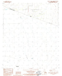
1988 · South of Papago Farms
USGS Topo · 1:24,000
Featured Places
- Papago Farms, Chukut Kuk District
- Stan Shuatuk, Chukut Kuk District
- Chukut Kuk District, AZ
- Pisinemo District, AZ
- Pima County, AZ