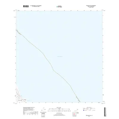
2017 Map of Papaikou OE N
USGS Topo · Published 2017About this map
Wailea Bay and the adjacent shoreline of the Island of Hawai'i dominate this coastal survey. The terrain is defined by the sharp transition from the Pacific Ocean to the volcanic cliffs of the Hamakua Coast, where Kolekole Stream meets the sea. This 2017 study captures the modern coastal landscape, emphasizing the winding path of the Old Mamalahoa Hwy as it follows the contours of the land above Pohakumanu Bay. Significant maritime landmarks like Lehuawehi Point serve as geographic anchors for this section of the coast. The map provides a precise look at the interface between the high bluffs and the deep waters of the Pacific, highlighting the sparse, linear development along the historical highway corridor.
Find a feature on this map
8 named features on this map. Tap any name to fly to it.
Don’t see what you’re looking for? This feature index may not catch every label — zoom into the map to look around manually.
Map Details
Editions of this 2017 Papaikou OE N Map
This is the sole edition of this map. No revisions or reprints were ever made.
Other maps of this area

1915 · Honomu
USGS Topo · 1:62,500

1954 · Hawaii North
USGS Topo · 1:250,000

1959 · Hawaii North
USGS Topo · 1:250,000

1961 · Hawaii North
USGS Topo · 1:250,000
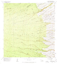
1966 · Akaka Falls
USGS Topo · 1:24,000
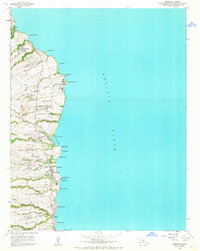
1966 · Papaikou
USGS Topo · 1:24,000
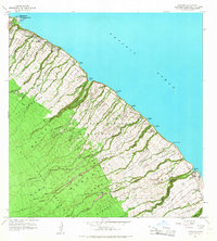
1966 · Papaaloa
USGS Topo · 1:24,000

1975 · Hawaii
USGS Topo · 1:250,000
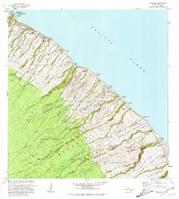
1980 · Papaaloa
USGS Topo · 1:24,000
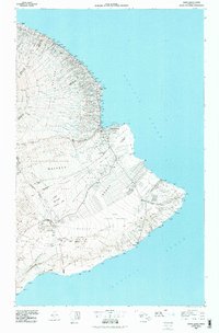
1980 · Hawaii County Sheet 2
USGS Topo · 1:100,000