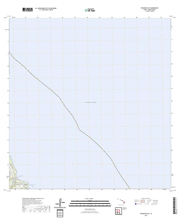
2024 Map of Papaikou OE N
USGS Topo · Published 2024About this map
The coast of the Island of Hawai'i meets the Pacific Ocean along the eastern shoreline of the Big Island in this recent survey. Concentrated in the southwest corner of the quadrangle, the landscape transitions from the open sea to a series of inlets and points. Kolekole Stream flows toward the coast near Wailea Bay, a location where the modern Hawaii Belt Rd and the Old Mamalahoa Hwy provide the primary transit corridor. Further east, the coastline is marked by Lehuawehi Point and the adjacent waters of Pohakumanu Bay. The map highlights the intersection of modern infrastructure with the natural topography of the shoreline, showing how transportation routes follow the narrow margin between the highland interior and the steep coastal edge.
Find a feature on this map
8 named features on this map. Tap any name to fly to it.
Don’t see what you’re looking for? This feature index may not catch every label — zoom into the map to look around manually.
Map Details
Editions of this 2024 Papaikou OE N Map
This is the sole edition of this map. No revisions or reprints were ever made.
Other maps of this area

1915 · Honomu
USGS Topo · 1:62,500

1954 · Hawaii North
USGS Topo · 1:250,000

1959 · Hawaii North
USGS Topo · 1:250,000

1961 · Hawaii North
USGS Topo · 1:250,000
1966 · Akaka Falls
USGS Topo · 1:24,000
1966 · Papaikou
USGS Topo · 1:24,000
1966 · Papaaloa
USGS Topo · 1:24,000

1975 · Hawaii
USGS Topo · 1:250,000
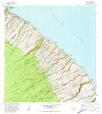
1980 · Papaaloa
USGS Topo · 1:24,000
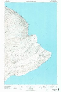
1980 · Hawaii County Sheet 2
USGS Topo · 1:100,000