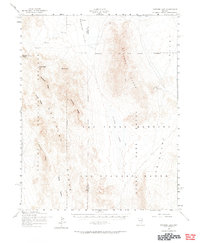
1952 Map of Papoose Lake
USGS Topo · Published 1965About this map
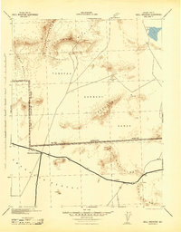
Las Vegas Bombing and Gunnery Range dominates this mid-century landscape, illustrating the intense military footprint in southern Nevada during the early Cold War. The map, based on 1952 aerial photography, captures a transitional desert wilderness where traditional land uses like the Kelly Mine exist alongside the expanding Nevada Proving Grounds. The terrain is characterized by stark basins and ridges, including the Half Pint Range and the Papoose Range, which flank the dry bed of Papoose Lake.
Find a feature on this map
17 named features on this map. Tap any name to fly to it.
Don’t see what you’re looking for? This feature index may not catch every label — zoom into the map to look around manually.
Map Details
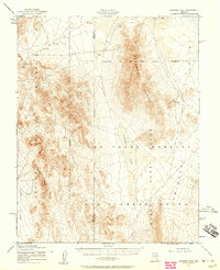
Editions of this 1952 Papoose Lake Map
2 editions found
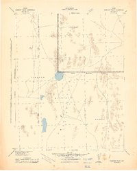
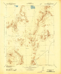
Other maps of this area

1907 · Las Vegas
USGS Topo · 1:250,000

1908 · Kawich
USGS Topo · 1:250,000

1908 · Furnace Creek
USGS Topo · 1:250,000

1908 · Las Vegas
USGS Topo · 1:250,000

1910 · Furnace Creek
USGS Topo · 1:250,000
1942 · Emigrant Valley
USGS Topo · 1:125,000

1942 · Indian Spring
USGS Topo · 1:125,000
1942 · Wheelbarrow Peak
USGS Topo · 1:125,000
1942 · Skull Mountain
USGS Topo · 1:125,000

1948 · Death Valley
USGS Topo · 1:250,000