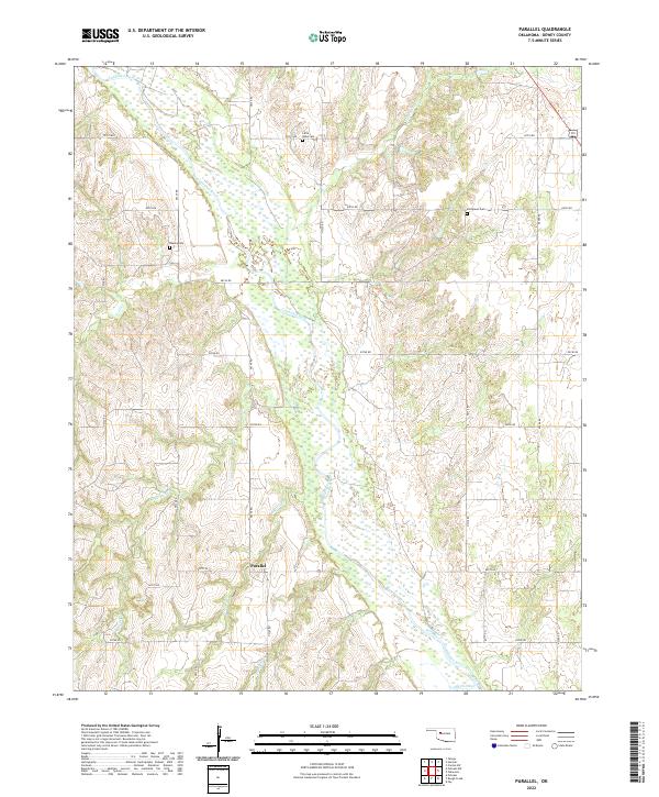
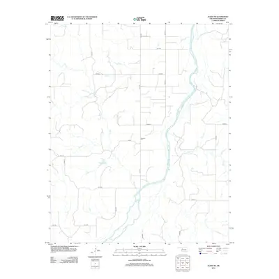
2022 Map of Parallel
USGS Topo · Published 2022About this map
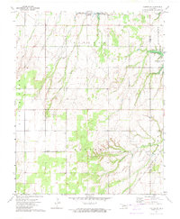
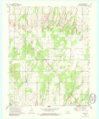
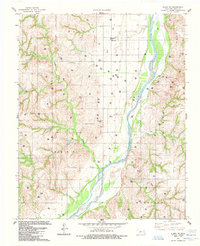
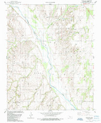
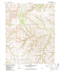
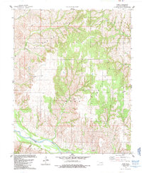
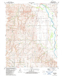
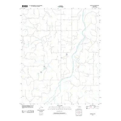
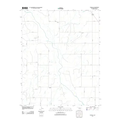
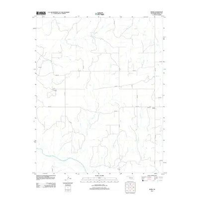
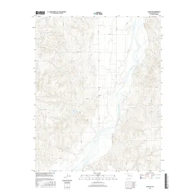
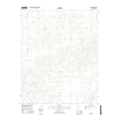
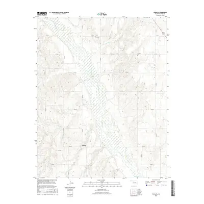
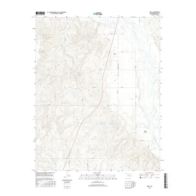
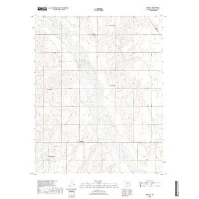
The Canadian River meanders through this portion of Dewey County, defining a wide, braided alluvial channel that dominates the central landscape. The surrounding terrain is characterized by a dense network of seasonal drainages, including Little Robe Cr and Squirrel Cr, which carve through the plains. This area is sparsely settled, with the tiny community of Parallel serving as a localized point of reference amidst a grid of rural section roads. For genealogists and local historians, the presence of small, dispersed burial grounds such as Little Robe Cem, Oakley Cem, and Evergreen Cem provides critical anchors for family history research. The map reflects a classic Great Plains land-use pattern, where the rugged breaks near watercourses like Fiddlers Cr and One Horse Cr contrast with the organized township and range system that dictates the placement of roads and homesteads.
Find a feature on this map
29 named features on this map. Tap any name to fly to it.
Don’t see what you’re looking for? This feature index may not catch every label — zoom into the map to look around manually.
Map Details
Editions of this 2022 Parallel Map
This is the sole edition of this map. No revisions or reprints were ever made.
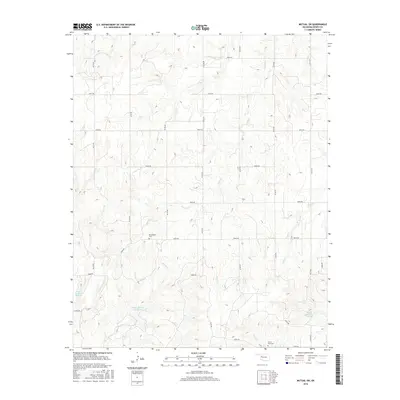
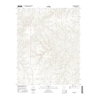
Historical Maps of Parallel Through Time
55 maps found
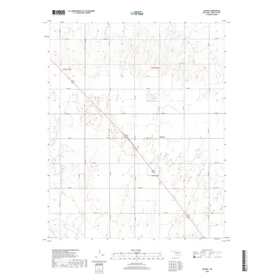
1962 Aledo
Dewey County, OK
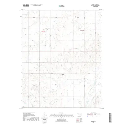
1969 Lenora
Dewey County, OK
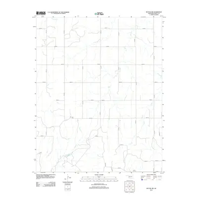
1969 Mutual SW
Dewey County, OK
1972 Canton SW
Dewey County, OK
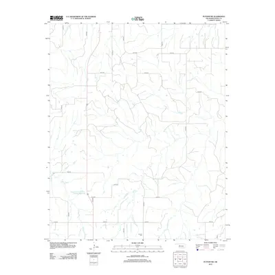
1972 Hucmac
Dewey County, OK
1985 Aledo NE
Dewey County, OK
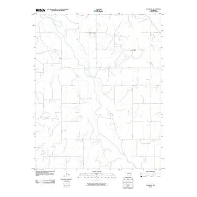
1985 Parallel
Dewey County, OK
1985 Putnam NW
Dewey County, OK
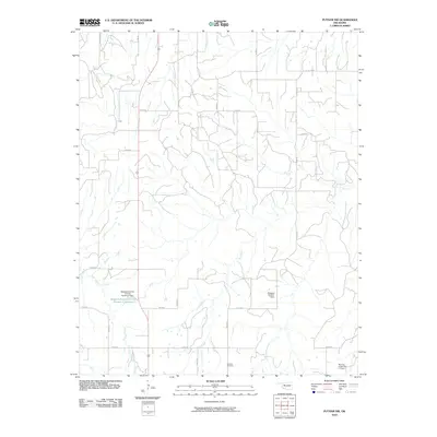
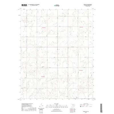
1985 Webb
Dewey County, OK
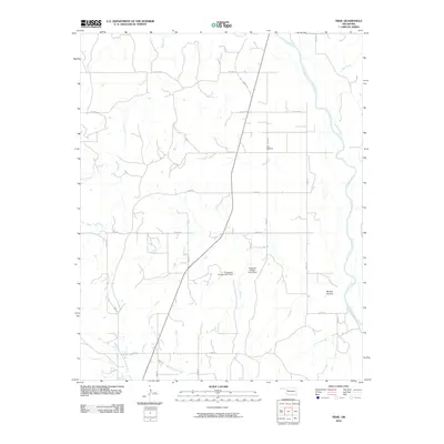
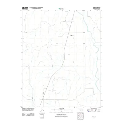
1987 Trail
Dewey County, OK
2009 Canton SW
Dewey County, OK
2010 Aledo NE
Dewey County, OK
2010 Hucmac
Dewey County, OK
2010 Lenora
Dewey County, OK
2010 Mutual SW
Dewey County, OK
2010 Parallel
Dewey County, OK
2010 Putnam NW
Dewey County, OK
2010 Trail
Dewey County, OK
2010 Webb
Dewey County, OK
2012 Aledo NE
Dewey County, OK
2012 Canton SW
Dewey County, OK
2012 Hucmac
Dewey County, OK
2012 Lenora
Dewey County, OK
2012 Mutual SW
Dewey County, OK
2012 Parallel
Dewey County, OK
2012 Putnam NW
Dewey County, OK
2012 Trail
Dewey County, OK
2012 Webb
Dewey County, OK
2016 Aledo NE
Dewey County, OK
2016 Canton SW
Dewey County, OK
2016 Hucmac
Dewey County, OK
2016 Lenora
Dewey County, OK
2016 Mutual SW
Dewey County, OK
2016 Parallel
Dewey County, OK
2016 Putnam NW
Dewey County, OK
2016 Trail
Dewey County, OK
2016 Webb
Dewey County, OK
2018 Aledo NE
Dewey County, OK
2018 Canton SW
Dewey County, OK
2018 Hucmac
Dewey County, OK
2018 Lenora
Dewey County, OK
2018 Mutual SW
Dewey County, OK
2018 Parallel
Dewey County, OK
2018 Putnam NW
Dewey County, OK
2018 Trail
Dewey County, OK
2018 Webb
Dewey County, OK
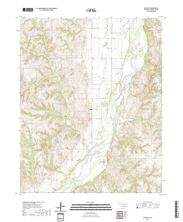
2022 Aledo NE
Dewey County, OK
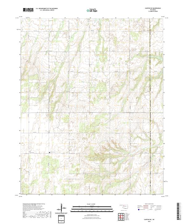
2022 Canton SW
Dewey County, OK
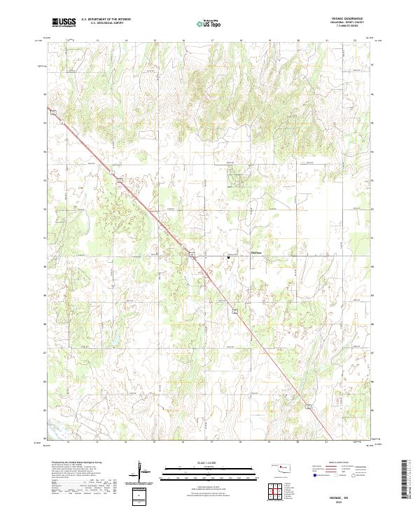
2022 Hucmac
Dewey County, OK
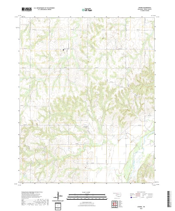
2022 Lenora
Dewey County, OK
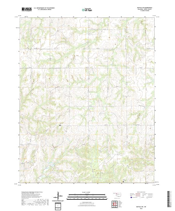
2022 Mutual SW
Dewey County, OK
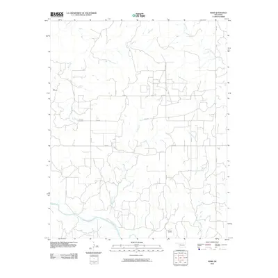
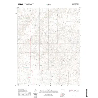
2022 Parallel
Dewey County, OK
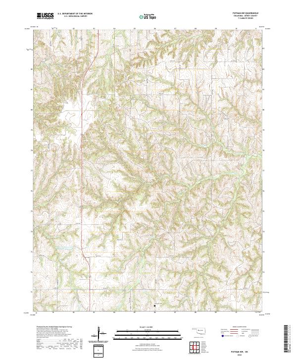
2022 Putnam NW
Dewey County, OK
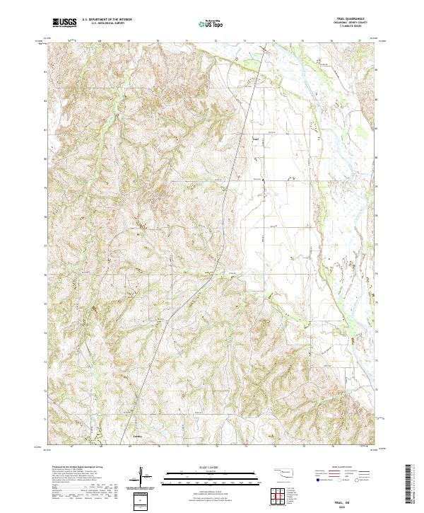
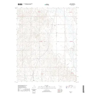
2022 Trail
Dewey County, OK
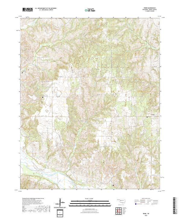
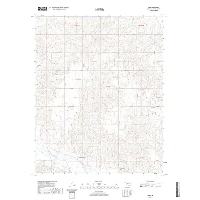
2022 Webb
Dewey County, OK