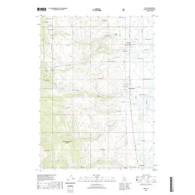
2020 Map of Paris
USGS Topo · Published 2020About this map
Paris serves as a focal point of this survey, anchored by the Bear Lake County Courthouse and a grid of streets that extend toward the agricultural flats of the east. The landscape is defined by the dramatic transition from the canyon mouths to the valley floor, with the Cache National Forest boundary marking the western hills. Water sources like Paris Spring and Jarvis Spring emerge from the limestone terrain, feeding into Paris Cr and Bloomington Cr as they flow toward the Bear Lake valley.
Find a feature on this map
76 named features on this map. Tap any name to fly to it.
Don’t see what you’re looking for? This feature index may not catch every label — zoom into the map to look around manually.
Map Details
Editions of this 2020 Paris Map
This is the sole edition of this map. No revisions or reprints were ever made.
Other maps of this area

1909 · Montpelier
USGS Topo · 1:125,000

1911 · Montpelier
USGS Topo · 1:125,000

1915 · Preston
USGS Topo · 1:96,000

1918 · Preston
USGS Topo · 1:125,000

1955 · Preston
USGS Topo · 1:250,000

1958 · Preston
USGS Topo · 1:250,000

1962 · Preston
USGS Topo · 1:250,000

1967 · Montpelier
USGS Topo · 1:24,000

1967 · Paris
USGS Topo · 1:24,000

1967 · Ovid
USGS Topo · 1:24,000