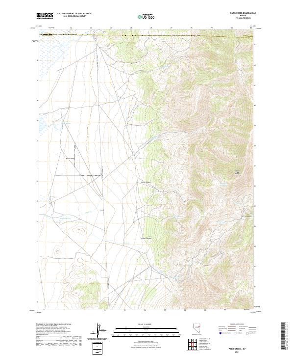
2021 Map of Paris Creek
USGS Topo · Published 2021About this map
Butte Valley and the steep eastern slopes of the Cherry Creek Range dominate this high-desert landscape on the border of Elko and White Pine counties. This modern topographic study reveals a complex network of seasonal drainages and vital water sources that sustain the region, including Ovehs Springs, Petes Spring, and the uniquely named Paris Spring Number Five. The rugged eastern terrain is carved by Horse Canyon and Corral Canyon, leading toward the high point at Currie Summit.
Find a feature on this map
20 named features on this map. Tap any name to fly to it.
Don’t see what you’re looking for? This feature index may not catch every label — zoom into the map to look around manually.
Map Details
Editions of this 2021 Paris Creek Map
This is the sole edition of this map. No revisions or reprints were ever made.
Other maps of this area

1955 · Elko
USGS Topo · 1:250,000

1956 · Ely
USGS Topo · 1:250,000

1958 · Elko
USGS Topo · 1:250,000

1959 · Ely
USGS Topo · 1:250,000

1962 · Elko
USGS Topo · 1:250,000

1963 · Ely
USGS Topo · 1:250,000

1965 · Elko
USGS Topo · 1:250,000

1982 · Ninemile Well
USGS Topo · 1:24,000

1982 · Exchequer Spring
USGS Topo · 1:24,000
1982 · Cherry Creek Station
USGS Topo · 1:24,000