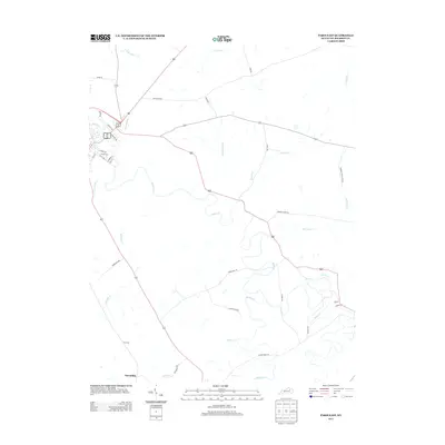
2013 Map of Paris East
USGS Topo · Published 2013About this map
Stoner Cr defines the winding agricultural heart of Bourbon County just east of Paris, weaving through a landscape of historic farmsteads and rural lanes. This 2013 survey provides a detailed view of the transition from the edge of the city into the surrounding countryside, where large tracts like Winburn Farm and Muckross Farm represent the region's enduring agrarian character. For those looking to trace local heritage, the inclusion of Clay Cem and the small settlement of Escondida provides specific points of interest for genealogical study.
Find a feature on this map
39 named features on this map. Tap any name to fly to it.
Don’t see what you’re looking for? This feature index may not catch every label — zoom into the map to look around manually.
Map Details
Editions of this 2013 Paris East Map
This is the sole edition of this map. No revisions or reprints were ever made.
Other maps of this area

1927 · Lexington
USGS Topo · 1:48,000

1929 · Cynthiana
USGS Topo · 1:48,000

1929 · Lexington
USGS Topo · 1:62,500

1934 · Cynthiana
USGS Topo · 1:62,500

1952 · Paris East
USGS Topo · 1:24,000

1952 · Clintonville
USGS Topo · 1:24,000

1952 · Austerlitz
USGS Topo · 1:24,000

1952 · North Middletown
USGS Topo · 1:24,000
1952 · Sideview
USGS Topo · 1:24,000

1953 · Carlisle
USGS Topo · 1:24,000