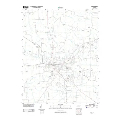
2010 Map of Paris
USGS Topo · Published 2010About this map
Paris serves as the central hub of this West Tennessee landscape, characterized by a high density of burial grounds and a complex network of waterways. The town's urban core is anchored by the Paris Post Office and bordered by significant local sites including Paris City Cemetery and Maplewood Cemetery. The landscape is defined by the drainage systems of the Middle Fork Obion River and Town Creek, with several artificial impoundments like Smith Lake and Green Acres Lake providing localized water management.
Find a feature on this map
104 named features on this map. Tap any name to fly to it.
Don’t see what you’re looking for? This feature index may not catch every label — zoom into the map to look around manually.
Map Details
Editions of this 2010 Paris Map
This is the sole edition of this map. No revisions or reprints were ever made.
Other maps of this area

1936 · Conyersville
USGS Topo · 1:24,000

1936 · Buchanan
USGS Topo · 1:24,000

1936 · Crossland
USGS Topo · 1:24,000

1936 · Mansfield
USGS Topo · 1:24,000

1936 · Manleyville
USGS Topo · 1:24,000

1936 · Paris
USGS Topo · 1:24,000

1936 · Springville
USGS Topo · 1:24,000

1938 · Springville
USGS Topo · 1:24,000

1940 · Manleyville
USGS Topo · 1:24,000

1941 · Manleyville
USGS Topo · 1:24,000