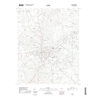
2019 Map of Paris
USGS Topo · Published 2019About this map
Paris serves as the focal point of this 2019 survey, showing the county seat's modern layout and its surrounding residential expansions such as Chickasaw Heights and Meadow Mead. The terrain is defined by the headwaters of the Middle Fork Obion River and several drainage systems including Town Cr and Clifty Cr. For genealogists and local historians, the area is notably dense with small family and community burial grounds, from the large Maplewood Cem in the city center to smaller outlying sites like Pryor Cem and Hansel Cem. The map tracks the northern rural transition through Whitlock and Hilltop, where the landscape is etched by agricultural roads and water features like Smith Lake and the Chandler Ditch. This document provides a precise account of Henry County's road network, connecting the central hub of Paris to smaller communities like India and Woodland Acres.
Find a feature on this map
209 named features on this map. Tap any name to fly to it.
Don’t see what you’re looking for? This feature index may not catch every label — zoom into the map to look around manually.
Map Details
Editions of this 2019 Paris Map
This is the sole edition of this map. No revisions or reprints were ever made.
Other maps of this area

1936 · Conyersville
USGS Topo · 1:24,000

1936 · Buchanan
USGS Topo · 1:24,000

1936 · Crossland
USGS Topo · 1:24,000

1936 · Mansfield
USGS Topo · 1:24,000

1936 · Manleyville
USGS Topo · 1:24,000

1936 · Paris
USGS Topo · 1:24,000

1936 · Springville
USGS Topo · 1:24,000

1938 · Springville
USGS Topo · 1:24,000

1940 · Manleyville
USGS Topo · 1:24,000

1941 · Manleyville
USGS Topo · 1:24,000