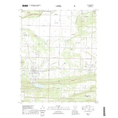
2020 Map of Paris
USGS Topo · Published 2020About this map
The Logan County Courthouse serves as the focal point for Paris, a community positioned between the Arkansas River valley and the northern reaches of the Ozark National Forest. The landscape transitions from the aquatic expanse of Lake Dardanelle and its bottomlands like McLean Bottom in the north to the ridges of Short Mtn and Pine Ridge Mtn in the south. This geography dictates a pattern of settlement and transport that follows the contours of the valley, with the Paris Municipal Airport and a network of secondary roads connecting established locales.
Find a feature on this map
112 named features on this map. Tap any name to fly to it.
Don’t see what you’re looking for? This feature index may not catch every label — zoom into the map to look around manually.
Map Details
Editions of this 2020 Paris Map
This is the sole edition of this map. No revisions or reprints were ever made.
Other maps of this area

1879 · Mountain Home
USGS Topo · 1:62,500

1887 · Magazine Mountain #1
USGS Topo · 1:62,500

1887 · Magazine Mountain #4
USGS Topo · 1:62,500

1887 · Magazine Mountain #2
USGS Topo · 1:62,500

1887 · Magazine Mountain #3
USGS Topo · 1:62,500

1887 · Magazine Mountain
USGS Topo · 1:62,500

1890 · Magazine Mountain
USGS Topo · 1:125,000

1934 · Booneville
USGS Topo · 1:48,000

1939 · Booneville
USGS Topo · 1:62,500

1956 · Russellville
USGS Topo · 1:250,000