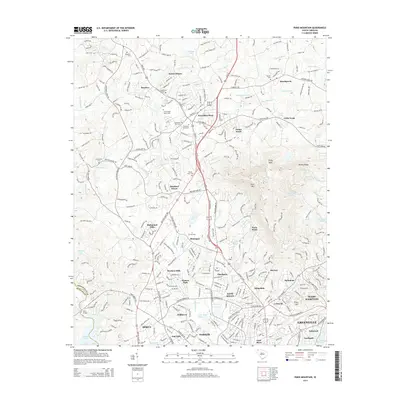
2014 Map of Paris Mountain
USGS Topo · Published 2014About this map
The Furman Univ campus sits at the heart of this landscape, flanked by the growing northern suburbs of Greenville. The map illustrates a dense network of residential developments and established communities like Travelers Rest, Sans Souci, and Wade Hampton, all shaped by the varied terrain of the Piedmont. Dramatic elevation changes are centered on Paris Mtn and Brissey Ridge, which provide a backdrop to the Reedy River and Enoree River drainage systems. Local history is preserved in small family and church plots, including the John Cooper Family Cem, Ebenezer Cem, and Grandview Cem. This survey documents the intersection of education, recreation at Saluda Lake, and the continuing expansion of Parker and Berea as they integrated into the larger metropolitan area.
Find a feature on this map
65 named features on this map. Tap any name to fly to it.
Don’t see what you’re looking for? This feature index may not catch every label — zoom into the map to look around manually.
Map Details
Editions of this 2014 Paris Mountain Map
This is the sole edition of this map. No revisions or reprints were ever made.
Other maps of this area

1888 · Pickens
USGS Topo · 1:125,000

1894 · Pickens
USGS Topo · 1:125,000

1905 · Pisgah
USGS Topo · 1:125,000

1906 · Pisgah
USGS Topo · 1:125,000

1907 · Saluda
USGS Topo · 1:125,000

1935 · Greenville
USGS Topo · 1:48,000

1938 · Greenville
USGS Topo · 1:62,500

1954 · Greenville
USGS Topo · 1:250,000

1955 · Knoxville
USGS Topo · 1:250,000

1957 · Greenville
USGS Topo · 1:24,000