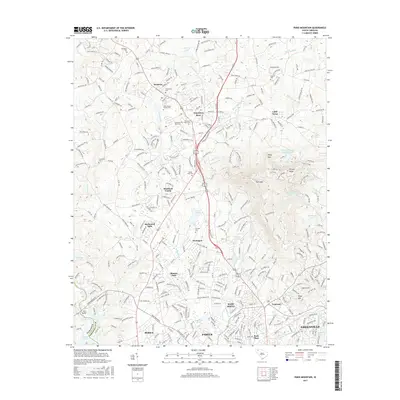
2017 Map of Paris Mountain
USGS Topo · Published 2017About this map
The Enoree River and Saluda River headwaters define this portion of the South Carolina Upstate, where the high ground of Paris Mtn rises above the growing suburban and industrial landscape. The 2017 terrain is marked by significant educational and recreational landmarks, most notably the sprawling campus of Furman Univ and the protected lands of Paris Mtn State Park. This era shows a densifying network of communities from Travelers Rest in the north to the established neighborhoods of Sans Souci, Berea, and the northern edge of Greenville.
Find a feature on this map
62 named features on this map. Tap any name to fly to it.
Don’t see what you’re looking for? This feature index may not catch every label — zoom into the map to look around manually.
Map Details
Editions of this 2017 Paris Mountain Map
This is the sole edition of this map. No revisions or reprints were ever made.
Other maps of this area

1888 · Pickens
USGS Topo · 1:125,000

1894 · Pickens
USGS Topo · 1:125,000

1905 · Pisgah
USGS Topo · 1:125,000

1906 · Pisgah
USGS Topo · 1:125,000

1907 · Saluda
USGS Topo · 1:125,000

1935 · Greenville
USGS Topo · 1:48,000

1938 · Greenville
USGS Topo · 1:62,500

1954 · Greenville
USGS Topo · 1:250,000

1955 · Knoxville
USGS Topo · 1:250,000

1957 · Greenville
USGS Topo · 1:24,000