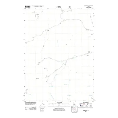
2011 Map of Paris Peak
USGS Topo · Published 2011About this map
Paris Peak and Bloomington Peak anchor this high-altitude section of the Bear River Range in southeastern Idaho. The landscape is defined by a series of high flats and glacial basins, including Horseshoe Basin, Telegraph Flat, and Paris Flat. The hydrology of the area is particularly complex, with numerous forks and springs feeding into larger systems; notable water bodies include the subalpine Bloomington Lake, Worm-Lake, and Limekiln Lake.
Find a feature on this map
35 named features on this map. Tap any name to fly to it.
Don’t see what you’re looking for? This feature index may not catch every label — zoom into the map to look around manually.
Map Details
Editions of this 2011 Paris Peak Map
This is the sole edition of this map. No revisions or reprints were ever made.
Other maps of this area

1909 · Montpelier
USGS Topo · 1:125,000

1911 · Montpelier
USGS Topo · 1:125,000

1915 · Preston
USGS Topo · 1:96,000

1918 · Preston
USGS Topo · 1:125,000

1955 · Preston
USGS Topo · 1:250,000

1958 · Preston
USGS Topo · 1:250,000

1962 · Preston
USGS Topo · 1:250,000

1967 · Paris
USGS Topo · 1:24,000

1967 · Ovid
USGS Topo · 1:24,000
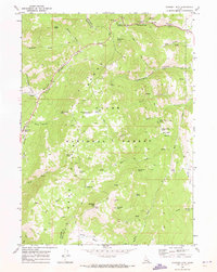
1969 · Midnight Mtn
USGS Topo · 1:24,000