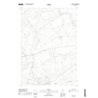
2019 Map of Parishville
USGS Topo · Published 2019About this map
The West Branch Saint Regis River snakes through this St. Lawrence County landscape, defining the character of small hamlets like Southville and Parishville. In the south, Barton Brook feeds into the river near the village center of Parishville, where local burial grounds such as Hillcrest Cem and Fairview Cem preserve the genealogy of early residents. Further north, the landscape transitions into a network of rural roads, including Buckton Rd and Reagan Rd, which connect the smaller clusters of Buckton and Beechertown. Notable landmarks like Allen Falls and the confluence of numerous streams, such as Trout Brook and Dan Wright Brook, highlight the area's complex drainage pattern. The distribution of small settlements and named crossroads like Converse illustrates the late 20th-century development of this upland region between the Adirondack foothills and the St. Lawrence River valley.
Find a feature on this map
61 named features on this map. Tap any name to fly to it.
Don’t see what you’re looking for? This feature index may not catch every label — zoom into the map to look around manually.
Map Details
Editions of this 2019 Parishville Map
This is the sole edition of this map. No revisions or reprints were ever made.
Other maps of this area

1906 · Massena
USGS Topo · 1:62,500

1907 · Massena
USGS Topo · 1:62,500

1908 · Potsdam
USGS Topo · 1:62,500

1915 · Moira
USGS Topo · 1:62,500

1917 · Moira
USGS Topo · 1:62,500

1919 · Nicholville
USGS Topo · 1:62,500

1921 · Nicholville
USGS Topo · 1:62,500

1942 · Long Bow
USGS Topo · 1:24,000

1942 · Norfolk
USGS Topo · 1:24,000

1943 · Potsdam
USGS Topo · 1:31,680