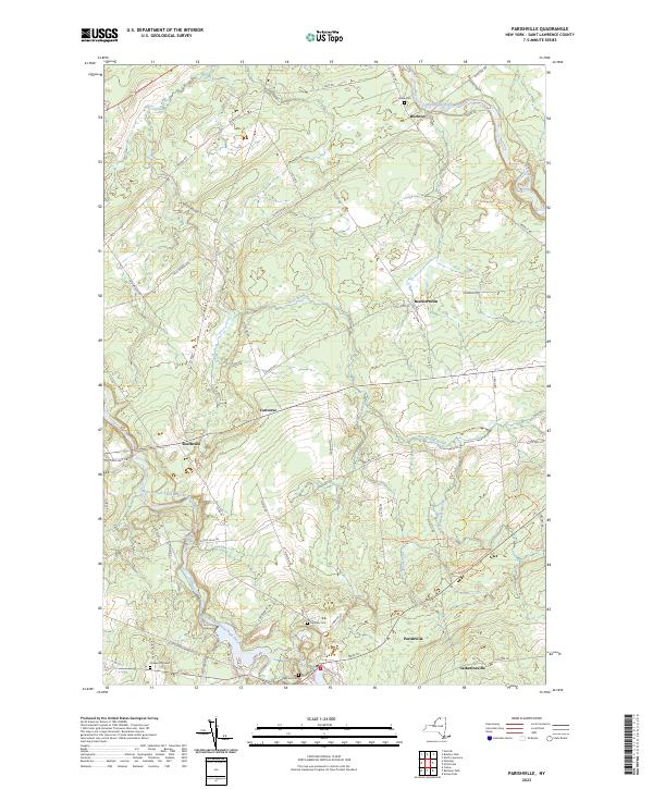
2023 Map of Parishville
USGS Topo · Published 2023About this map
The West Branch Saint Regis River and its numerous tributaries, including Trout Brook and Dan Wright Brook, define the drainage and settlement patterns of this St. Lawrence County landscape. Small hamlets like Parishville and Catherineville anchor the southern region, while north of the river, Buckton and Beechertown sit amidst a network of rural roads such as Reed Rd and Buckton Rd. The terrain is marked by significant hydrological features like Allen Falls, which likely influenced the positioning of early infrastructure. For genealogists and local historians, the map serves as a detailed guide to local heritage sites, documenting several burial grounds including Hillcrest Cem, Fairview Cem, and Union Cem. These points of interest, along with the distinct naming of places like Southville and Converse, provide a clear view of the area's established community identity and rural development.
Find a feature on this map
63 named features on this map. Tap any name to fly to it.
Don’t see what you’re looking for? This feature index may not catch every label — zoom into the map to look around manually.
Map Details
Editions of this 2023 Parishville Map
This is the sole edition of this map. No revisions or reprints were ever made.
Other maps of this area

1906 · Massena
USGS Topo · 1:62,500

1907 · Massena
USGS Topo · 1:62,500

1908 · Potsdam
USGS Topo · 1:62,500

1915 · Moira
USGS Topo · 1:62,500

1917 · Moira
USGS Topo · 1:62,500

1919 · Nicholville
USGS Topo · 1:62,500

1921 · Nicholville
USGS Topo · 1:62,500

1942 · Long Bow
USGS Topo · 1:24,000

1942 · Norfolk
USGS Topo · 1:24,000

1943 · Potsdam
USGS Topo · 1:31,680