
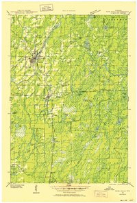
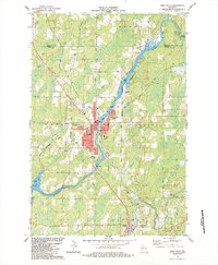
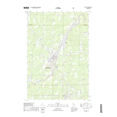
1941 Map of Park Falls
USGS Topo · Published 1961About this map
Park Falls serves as the primary hub of this north-central Wisconsin landscape, where the Flambeau River winds through Price and Ashland counties. The 1941 survey captures a rural network defined by its timber and water resources, evidenced by the Fifield Fire Tower and the Ranger Sta. Beyond the main settlements of Lymantown and Lugerville, a dense distribution of one-room schoolhouses such as Green Valley Sch, Sugarbush Sch, and Edgewood Sch suggests a once-populous backcountry before mid-century consolidation. The intersection of the Chicago and Northwestern and the Minneapolis St Paul and Sault Ste Marie railroads underscores the importance of rail transport for the region's industry and trade. Scattered throughout the Chequamegon National Forest are numerous water bodies like Sailor Lake and Solberg Lake, which hint at the region's transition toward recreation and conservation.
Find a feature on this map
66 named features on this map. Tap any name to fly to it.
Don’t see what you’re looking for? This feature index may not catch every label — zoom into the map to look around manually.
Map Details
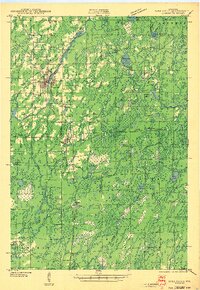
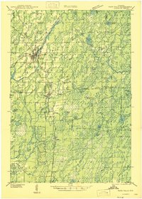
Editions of this 1941 Park Falls Map
2 editions found
Historical Maps of Park Falls Through Time
11 maps found
1941 Park Falls
Price County, WI
1943 Park Falls
Price County, WI
1947 Park Falls
Price County, WI
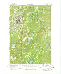
1968 Park Falls
Price County, WI

1980 Park Falls
Price County, WI
1984 Park Falls
Price County, WI
2010 Park Falls
Price County, WI
2013 Park Falls
Price County, WI
2015 Park Falls
Price County, WI
2018 Park Falls
Price County, WI
2022 Park Falls
Price County, WI