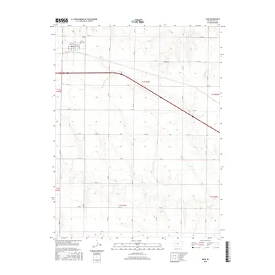
2015 Map of Park
USGS Topo · Published 2015About this map
Park's grid of residential streets sits at the northern edge of Gove County, where the plains are etched by the headwaters of the Smoky Hill River system. This 2015 survey documents the town's layout, centered around a Po and the prominent Sacred Heart Cem just to the east. The surrounding landscape is defined by the Jeffersonian grid of the Public Land Survey System, with roads like Gove AA and Gove Z marking the section lines. The terrain is gently bisected by the drainages of Big Cr, Plum Cr, and Cow Draw, which break the high-plains plateau into a series of shallow valleys. This map illustrates the intersection of mid-century infrastructure and early 20th-century settlement patterns, showcasing the grid-based agriculture and local transportation networks that continue to sustain this High Plains community.
Find a feature on this map
40 named features on this map. Tap any name to fly to it.
Don’t see what you’re looking for? This feature index may not catch every label — zoom into the map to look around manually.
Map Details
Editions of this 2015 Park Map
This is the sole edition of this map. No revisions or reprints were ever made.
Other maps of this area

1954 · Goodland
USGS Topo · 1:250,000

1955 · Scott City
USGS Topo · 1:250,000

1956 · Goodland
USGS Topo · 1:250,000

1957 · Goodland
USGS Topo · 1:250,000

1958 · Scott City
USGS Topo · 1:250,000

1972 · Gove NE
USGS Topo · 1:24,000

1972 · Castle Rock NW
USGS Topo · 1:24,000

1972 · Gove
USGS Topo · 1:24,000

1979 · Park
USGS Topo · 1:24,000

1979 · Midway Draw West
USGS Topo · 1:24,000