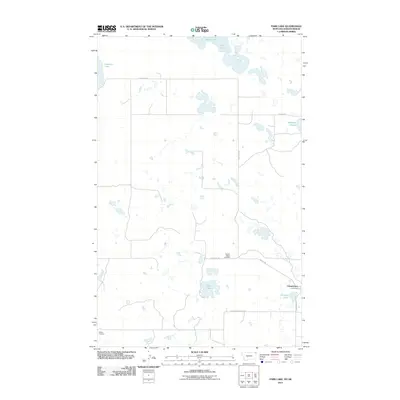
2011 Map of Park Lake
USGS Topo · Published 2011About this map
Comertown sits in a high-plains landscape defined by numerous basins and glacial lakes along the Montana-Saskatchewan border. This early 21st-century survey reveals a sparse settlement pattern connected by a grid of rural routes such as Salt Lake Rd and Dooley Rd. The area's geography is punctuated by significant water bodies including Alkali Lake, Salt Lake, and Park Lake, reflecting the internal drainage typical of this northern prairie region.
Find a feature on this map
14 named features on this map. Tap any name to fly to it.
Don’t see what you’re looking for? This feature index may not catch every label — zoom into the map to look around manually.
Map Details
Editions of this 2011 Park Lake Map
This is the sole edition of this map. No revisions or reprints were ever made.
Other maps of this area

1954 · Wolf Point
USGS Topo · 1:250,000

1958 · Wolf Point
USGS Topo · 1:250,000

1983 · Dooley
USGS Topo · 1:24,000

1983 · Tadpole Lake
USGS Topo · 1:24,000

1983 · Dooley SW
USGS Topo · 1:24,000

1983 · Dooley SE
USGS Topo · 1:24,000

1983 · Lone Tree Lake
USGS Topo · 1:24,000

1983 · Park Lake
USGS Topo · 1:24,000
2011 · Dooley
USGS Topo · 1:24,000
2011 · Dooley SW
USGS Topo · 1:24,000