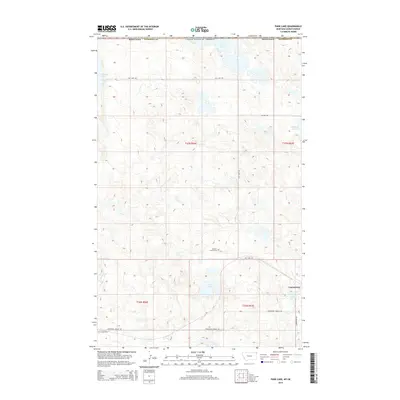
2014 Map of Park Lake
USGS Topo · Published 2014About this map
Comertown sits at the edge of a landscape defined by alkali basins and prairie potholes along the international boundary between Montana and Saskatchewan. This 2014 survey by the U.S. Geological Survey details a rural corner of Sheridan County where drainage patterns are dominated by named water bodies such as Johnson Lake, Salt Lake, and Comers Lake. The presence of the McCall - Gibson Cem and Dooley Cem provides critical anchors for genealogists and local historians tracing the early homesteading families of this northern borderland. The topography is marked by a network of sectional roads, including Salt Lake Rd and Comertown Dooley Rd, which navigate the depressions of Park Lake and Widgeon Slough. This map illustrates the intersection of modern land management and the enduring isolation of the High Plains.
Find a feature on this map
18 named features on this map. Tap any name to fly to it.
Don’t see what you’re looking for? This feature index may not catch every label — zoom into the map to look around manually.
Map Details
Editions of this 2014 Park Lake Map
This is the sole edition of this map. No revisions or reprints were ever made.
Other maps of this area

1954 · Wolf Point
USGS Topo · 1:250,000

1958 · Wolf Point
USGS Topo · 1:250,000

1983 · Dooley
USGS Topo · 1:24,000

1983 · Tadpole Lake
USGS Topo · 1:24,000

1983 · Dooley SW
USGS Topo · 1:24,000

1983 · Dooley SE
USGS Topo · 1:24,000

1983 · Lone Tree Lake
USGS Topo · 1:24,000

1983 · Park Lake
USGS Topo · 1:24,000
2011 · Dooley
USGS Topo · 1:24,000
2011 · Dooley SW
USGS Topo · 1:24,000