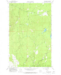
1967 Map of Park Rapids
USGS Topo · Published 1977About this map
Old Dominion Mtn and Green Mtn anchor the high country of Stevens County, providing a backdrop for the complex drainage systems of the South Fork Mill Creek and Squaw Creek. The mid-1960s landscape shows a mix of industrial resource extraction and public land management, evidenced by the Longshot Mine in the north and the Mill Creek Guard Station further east. The southern portion of the sheet is dominated by the Little Pend Oreille National Wildlife Refuge, where the Pend Oreille River flows near the settlement of Park Rapids. Remote outposts like Hanson and the Lookout Tower on the western ridge suggest a period of active fire watch and forestry, while Twin Lakes and Black Lake served as established points for recreation and backcountry access.
Find a feature on this map
26 named features on this map. Tap any name to fly to it.
Don’t see what you’re looking for? This feature index may not catch every label — zoom into the map to look around manually.
Map Details
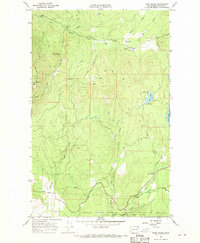
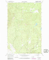
Editions of this 1967 Park Rapids Map
3 editions found
Other maps of this area

1927 · Chewelah
USGS Topo · 1:125,000

1929 · Colville
USGS Topo · 1:125,000

1930 · Chewelah
USGS Topo · 1:125,000

1933 · Colville
USGS Topo · 1:125,000

1952 · Gillette Mtn
USGS Topo · 1:24,000

1952 · White Mud Lake
USGS Topo · 1:24,000

1952 · Aladdin
USGS Topo · 1:24,000

1958 · Sandpoint
USGS Topo · 1:250,000

1963 · Sandpoint
USGS Topo · 1:250,000

1964 · Cliff Ridge
USGS Topo · 1:24,000