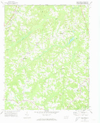
1972 Map of Park Spring
USGS Topo · Published 1974About this map
Pelham and West Yanceyville anchor this 1970s landscape in Caswell County, defined by a network of rural communities and small churches that trace the region's social history. The terrain is deeply carved by the Hogans Creek and Moon Creek drainage systems, which feed into larger bodies such as Park Spring Lake and Wildwood Lake. A distinct ecclesiastical pattern emerges through the placement of New Ephesus Ch, Bethesda Ch, and Gwynns Chapel, showing the dispersed yet connected nature of these rural congregations. Transportation and infrastructure are represented by the Southern railroad corridor in the west and the Caswell Airport near the eastern margin. The presence of the Cobb Memorial Sch and several unnamed cemeteries scattered across the ridges provides valuable data for genealogists and local historians documenting the mid-century development of these Piedmont communities before modern expansion.
Find a feature on this map
35 named features on this map. Tap any name to fly to it.
Don’t see what you’re looking for? This feature index may not catch every label — zoom into the map to look around manually.
Map Details
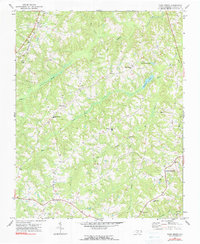
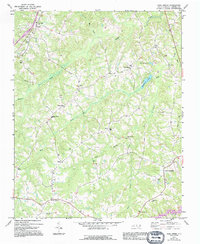
Editions of this 1972 Park Spring Map
3 editions found
Other maps of this area

1923 · Danville
USGS Topo · 1:48,000

1924 · Draper
USGS Topo · 1:48,000

1925 · Danville
USGS Topo · 1:62,500

1926 · Draper
USGS Topo · 1:62,500

1944 · Draper
USGS Topo · 1:62,500

1953 · Greensboro
USGS Topo · 1:250,000

1954 · Greensboro
USGS Topo · 1:250,000

1962 · Greensboro
USGS Topo · 1:250,000

1965 · Danville
USGS Topo · 1:24,000
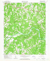
1965 · Brosville
USGS Topo · 1:24,000