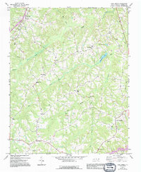
1972 Map of Park Spring
USGS Topo · Published 1994About this map
The rolling Piedmont landscape of Caswell County centers on Park Spring, where Wildwood Lake and Park Spring Lake are the defining water features. The map illustrates a rural North Carolina community transition, with early 1970s topography updated through mid-1990s revisions. This era of development is visible in the expansion of residential nodes like West Yanceyville and the established footprint of the Caswell Airport.
Find a feature on this map
33 named features on this map. Tap any name to fly to it.
Don’t see what you’re looking for? This feature index may not catch every label — zoom into the map to look around manually.
Map Details
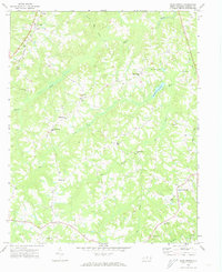
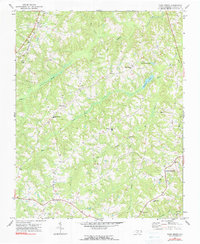
Editions of this 1972 Park Spring Map
3 editions found
Other maps of this area

1923 · Danville
USGS Topo · 1:48,000

1924 · Draper
USGS Topo · 1:48,000

1925 · Danville
USGS Topo · 1:62,500

1926 · Draper
USGS Topo · 1:62,500

1944 · Draper
USGS Topo · 1:62,500

1953 · Greensboro
USGS Topo · 1:250,000

1954 · Greensboro
USGS Topo · 1:250,000

1962 · Greensboro
USGS Topo · 1:250,000

1965 · Danville
USGS Topo · 1:24,000
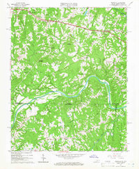
1965 · Brosville
USGS Topo · 1:24,000