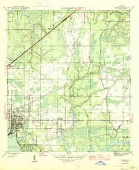
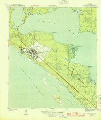
1945 Map of Parker
USGS Topo · Published 1945About this map
The coastal inlets of East Bay define the landscape of this 1940s survey, where maritime industry and emerging settlements meet the marshy Florida shoreline. The industrial corridor of Bay Harbor and the grid of Springfield stand in contrast to the rural character of Old Callaway and the scattered homes near Parker. Transportation is anchored by the Atlanta and railroad, which cuts diagonally across the northern landscape toward College Station.
Find a feature on this map
28 named features on this map. Tap any name to fly to it.
Don’t see what you’re looking for? This feature index may not catch every label — zoom into the map to look around manually.
Map Details
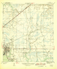
Editions of this 1945 Parker Map
2 editions found
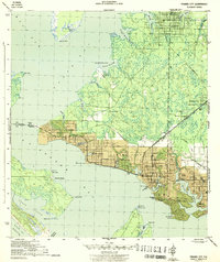
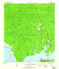
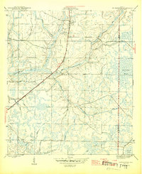
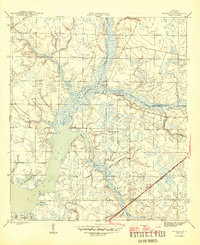
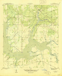
Other maps of this area

1943 · Beacon Beach
USGS Topo · 1:31,680
1943 · Panama City
USGS Topo · 1:31,680

1943 · Southport
USGS Topo · 1:24,000
1944 · Southport
USGS Topo · 1:24,000
1944 · Long Point
USGS Topo · 1:31,680

1944 · Bayhead
USGS Topo · 1:24,000
1945 · Youngstown
USGS Topo · 1:31,680
1945 · Bayhead
USGS Topo · 1:31,680
1945 · Allanton
USGS Topo · 1:31,680

1945 · North Of Allanton
USGS Topo · 1:31,680