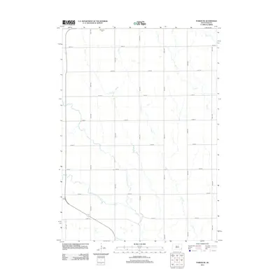
2012 Map of Parker NE
USGS Topo · Published 2012About this map
The Vermillion River and its western branch, the W Fork Vermillion River, dominate the drainage patterns of this Turner County landscape. This 2012 survey captures a strictly organized agricultural grid, where the prairie is partitioned by numbered thoroughfares like 269th St and 455th Ave. A solitary anchor for local family history appears at the northern edge: Wellington Cem, situated near the headwaters of Elce Cr. The map details the intricate network of prairie streams including Camp Cr, Long Cr, and Beaver Cr as they move toward the larger river system. Human modification of the water table is evidenced by the Liberty Ditch in the southwest corner, a feature common in regions where managed drainage is essential for productive field cultivation.
Find a feature on this map
24 named features on this map. Tap any name to fly to it.
Don’t see what you’re looking for? This feature index may not catch every label — zoom into the map to look around manually.
Map Details
Editions of this 2012 Parker NE Map
This is the sole edition of this map. No revisions or reprints were ever made.
Other maps of this area

1897 · Canton
USGS Topo · 1:125,000

1898 · Parker
USGS Topo · 1:125,000

1900 · Canton
USGS Topo · 1:125,000

1955 · Sioux Falls
USGS Topo · 1:250,000

1958 · Sioux Falls
USGS Topo · 1:250,000

1962 · Hartford South
USGS Topo · 1:24,000

1962 · Lennox NW
USGS Topo · 1:24,000

1964 · Grass Lake
USGS Topo · 1:24,000

1964 · Lennox
USGS Topo · 1:24,000

1964 · East Vermillion Lake
USGS Topo · 1:24,000