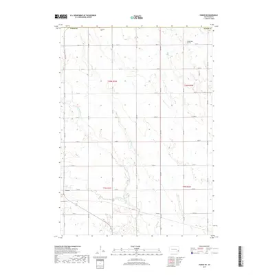
2017 Map of Parker NE
USGS Topo · Published 2017About this map
Parker serves as the primary focal point in this portion of the northern Great Plains, situated within the agricultural grid of Turner County. The landscape is defined by the high, rolling terrain of the Coteau des Prairies, an expansive plateau that shapes the local drainage patterns. To the northeast, the waters of Beaver Cr cut through the sections, a characteristic feature of the regional hydrology. The map illustrates a strictly organized township and range system, where section lines dictate the placement of local roads and property divisions, revealing a rural economy centered on large-scale farming and livestock operations that have long characterized this part of South Dakota.
Find a feature on this map
2 named features on this map. Tap any name to fly to it.
Don’t see what you’re looking for? This feature index may not catch every label — zoom into the map to look around manually.
Map Details
Editions of this 2017 Parker NE Map
This is the sole edition of this map. No revisions or reprints were ever made.
Other maps of this area

1897 · Canton
USGS Topo · 1:125,000

1898 · Parker
USGS Topo · 1:125,000

1900 · Canton
USGS Topo · 1:125,000

1955 · Sioux Falls
USGS Topo · 1:250,000

1958 · Sioux Falls
USGS Topo · 1:250,000

1962 · Hartford South
USGS Topo · 1:24,000

1962 · Lennox NW
USGS Topo · 1:24,000

1964 · Grass Lake
USGS Topo · 1:24,000

1964 · Lennox
USGS Topo · 1:24,000

1964 · East Vermillion Lake
USGS Topo · 1:24,000