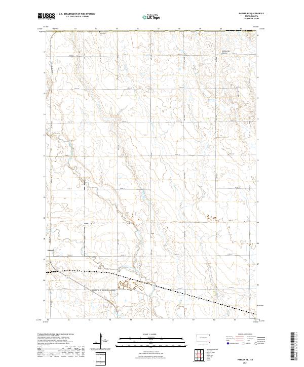
2021 Map of Parker NE
USGS Topo · Published 2021About this map
Parker serves as the primary municipal center in this section of Turner County, situated amidst the well-defined agricultural grid of southeastern South Dakota. The landscape is characterized by the meandering path of the West Fork Vermillion River and its various tributaries, which introduce natural contours into the otherwise geometric section lines. The eastern portion of the terrain is drained by Beaver Cr, flowing through the region as it descends from the surrounding Coteau des Prairies. This survey captures a moment in the modern era of the Great Plains, where the established township and range system dictates the placement of rural roads and property boundaries, contrasting with the fluid drainage patterns of the local creek systems.
Find a feature on this map
2 named features on this map. Tap any name to fly to it.
Don’t see what you’re looking for? This feature index may not catch every label — zoom into the map to look around manually.
Map Details
Editions of this 2021 Parker NE Map
This is the sole edition of this map. No revisions or reprints were ever made.
Other maps of this area

1897 · Canton
USGS Topo · 1:125,000

1898 · Parker
USGS Topo · 1:125,000

1900 · Canton
USGS Topo · 1:125,000

1955 · Sioux Falls
USGS Topo · 1:250,000

1958 · Sioux Falls
USGS Topo · 1:250,000

1962 · Hartford South
USGS Topo · 1:24,000

1962 · Lennox NW
USGS Topo · 1:24,000

1964 · Grass Lake
USGS Topo · 1:24,000

1964 · Lennox
USGS Topo · 1:24,000

1964 · East Vermillion Lake
USGS Topo · 1:24,000