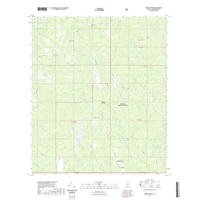
2021 Map of Parker Springs
USGS Topo · Published 2021About this map
Conecuh National Forest dominates the landscape of this Escambia County region, where the Conecuh River winds through the northern reaches. The area around Parker Springs is defined by a dense network of creek systems including Sweetwater Cr, Barney Cr, and the W Prong Rock Cr. This 2021 survey illustrates a timbered and rural landscape heavily shaped by local watercourses and access roads like Dixie Hwy and Bradley Rd.
Find a feature on this map
60 named features on this map. Tap any name to fly to it.
Don’t see what you’re looking for? This feature index may not catch every label — zoom into the map to look around manually.
Map Details
Editions of this 2021 Parker Springs Map
This is the sole edition of this map. No revisions or reprints were ever made.
Other maps of this area

1948 · Munson
USGS Topo · 1:62,500

1949 · Crestview
USGS Topo · 1:62,500

1950 · Munson
USGS Topo · 1:62,500

1951 · Crestview
USGS Topo · 1:62,500

1953 · Andalusia
USGS Topo · 1:250,000

1957 · Andalusia
USGS Topo · 1:250,000

1957 · Pensacola
USGS Topo · 1:250,000

1959 · Pensacola
USGS Topo · 1:250,000

1960 · Pensacola
USGS Topo · 1:250,000

1971 · Dixie
USGS Topo · 1:24,000