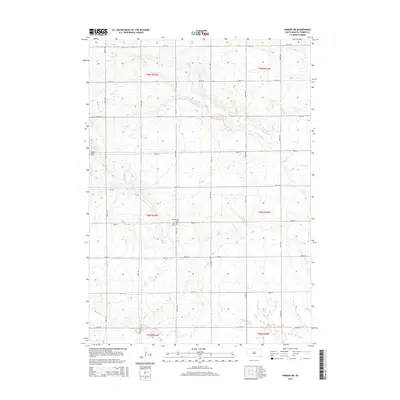
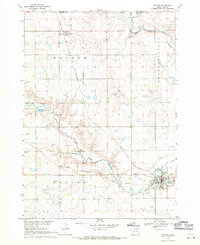
2015 Map of Parker SW
USGS Topo · Published 2015About this map
Turkey Valley Cem and Bethany Cem sit within a landscape of section-line roads and rolling agricultural land in Turner County. This 2015 survey reveals a strictly organized grid of transport routes, including 448th Ave and 282nd St, which partition the rural townships. Small community landmarks like Zion Cem provide anchor points for genealogical research in this part of South Dakota. The drainage patterns of Hurley Cr in the north and Turkey Ridge Cr to the south illustrate the natural topography that dictates the placement of farmsteads and field boundaries across the quadrangle.
Find a feature on this map
26 named features on this map. Tap any name to fly to it.
Don’t see what you’re looking for? This feature index may not catch every label — zoom into the map to look around manually.
Map Details
Editions of this 2015 Parker SW Map
This is the sole edition of this map. No revisions or reprints were ever made.
Other maps of this area

1898 · Parker
USGS Topo · 1:125,000

1955 · Sioux Falls
USGS Topo · 1:250,000

1958 · Sioux Falls
USGS Topo · 1:250,000
1968 · Parker NE
USGS Topo · 1:24,000
1968 · Hurley
USGS Topo · 1:24,000

1968 · Parker SW
USGS Topo · 1:24,000
1968 · Viborg
USGS Topo · 1:24,000
1968 · Parker
USGS Topo · 1:24,000

1970 · Turkey Ridge
USGS Topo · 1:24,000

1970 · Freeman SE
USGS Topo · 1:24,000
Featured Places
- Marion Township, SD
- Spring Valley Township, SD
- Parker Township, SD
- Swan Lake Township, SD
- Hurley Township, SD