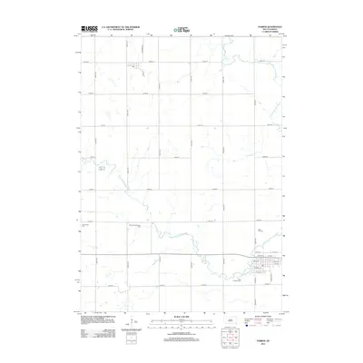
2012 Map of Parker
USGS Topo · Published 2012About this map
W Fork Vermillion River and its eastern counterpart wind through this section of Turner County, shaping a landscape defined by organized section lines and small-town infrastructure. The street grid of Parker is anchored by landmarks such as Kimball St and Walnut Ave, reflecting the community's established layout. Nearby, the Thunder Valley Drag Strip provides a distinctive modern focal point north of the river's bend.
Find a feature on this map
32 named features on this map. Tap any name to fly to it.
Don’t see what you’re looking for? This feature index may not catch every label — zoom into the map to look around manually.
Map Details
Editions of this 2012 Parker Map
This is the sole edition of this map. No revisions or reprints were ever made.
Other maps of this area

1898 · Parker
USGS Topo · 1:125,000

1955 · Sioux Falls
USGS Topo · 1:250,000

1958 · Sioux Falls
USGS Topo · 1:250,000

1964 · Grass Lake
USGS Topo · 1:24,000

1964 · Canistota
USGS Topo · 1:24,000

1964 · East Vermillion Lake
USGS Topo · 1:24,000
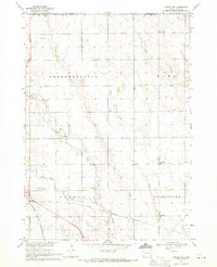
1968 · Parker NE
USGS Topo · 1:24,000
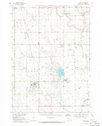
1968 · Hurley
USGS Topo · 1:24,000

1968 · Parker SW
USGS Topo · 1:24,000
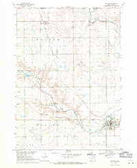
1968 · Parker
USGS Topo · 1:24,000