Loading...
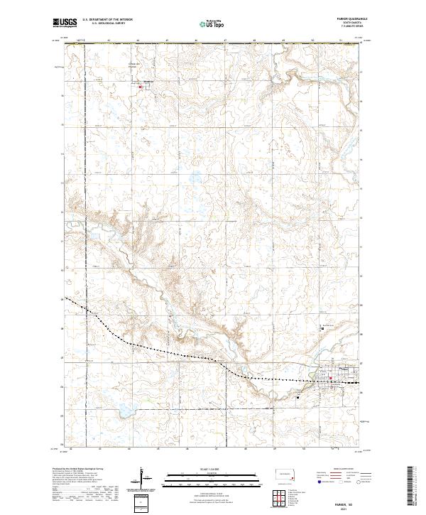
Loading map...2021 Map of Parker
USGS Topo · Published 2021About this map
Parker serves as a significant hub in southeastern South Dakota, situated at the confluence where the East Fork Vermillion River and West Fork Vermillion River converge. The town's layout is defined by a grid including W Railroad St and Kimball St, with the Turner County Courthouse anchoring the local government. To the north, the small settlement of Monroe sits near the edge of the Coteau des Prairies, a prominent upland plateau that shapes the regional drainage.
Find a feature on this map
44 named features on this map. Tap any name to fly to it.
Don’t see what you’re looking for? This feature index may not catch every label — zoom into the map to look around manually.
Map Details
Date Portrayed2021
Date Published2021
PublisherU.S. Geological Survey
Map TypeTopographic
Scale1:24000
Physical Dimensions24 x 29 inches
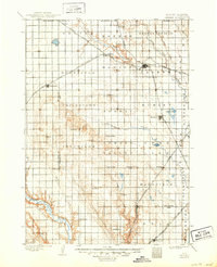
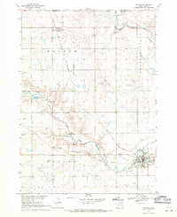
Editions of this 2021 Parker Map
This is the sole edition of this map. No revisions or reprints were ever made.
Historical Maps of Monroe Township Through Time
Featured Locations
- Wellington Township, SD
- Marion Township, SD
- Monroe Township, SD
- Parker, Parker Township
- Monroe, Monroe Township
Source Details
SourceU.S. Geological Survey
CopyrightPublic Domain