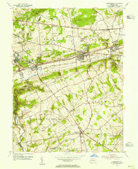
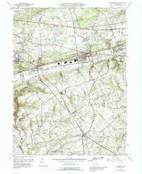
1953 Map of Parkesburg
USGS Topo · Published 1955About this map
The Pennsylvania Railroad corridor defines the industrial and residential spine of this mid-century landscape, connecting a series of rail-dependent communities from Christiana and Atglen through Lenover to the borough of Parkesburg. The terrain is characterized by the parallel ridges of the North Valley Hills and South Valley Hills, which funnel transportation and settlement into the Chester Valley. This 1953 field check captures the area just as post-war suburban development began to appear near Pomeroy Heights, while the southern reaches near Cochranville remain distinctly agricultural. Genealogists can locate numerous landmarks of early Pennsylvania settlement, including the Sadsbury Meeting House and Upper Octoraro Ch, along with legacy road networks like the Lincoln Highway and Newport Pike.
Find a feature on this map
53 named features on this map. Tap any name to fly to it.
Don’t see what you’re looking for? This feature index may not catch every label — zoom into the map to look around manually.
Map Details
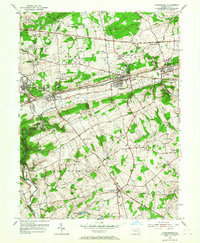
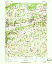
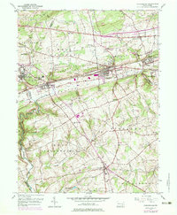
Editions of this 1953 Parkesburg Map
5 editions found
Other maps of this area

1904 · Coatesville
USGS Topo · 1:62,500

1905 · Honey Brook
USGS Topo · 1:62,500

1906 · Coatesville
USGS Topo · 1:62,500

1906 · New Holland
USGS Topo · 1:62,500

1907 · Honeybrook
USGS Topo · 1:62,500

1908 · New Holland
USGS Topo · 1:62,500

1912 · Quarryville
USGS Topo · 1:62,500

1918 · Coatesville
USGS Topo · 1:62,500

1941 · Honeybrook
USGS Topo · 1:62,500

1941 · New Holland
USGS Topo · 1:62,500