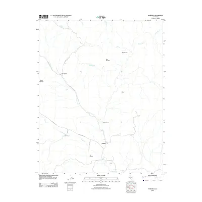
2012 Map of Parkfield
USGS Topo · Published 2012About this map
Parkfield serves as the primary focal point of this 2012 survey, situated along the drainage of Little Cholame Cr. The landscape is defined by the sharp convergence of several canyons and ridges, including Joaquin Canyon, Lang Canyon, and Lee Canyon, which feed into the larger Cholame Cr basin. A network of rural routes such as Vineyard Canyon Rd and Parkfield-Coalinga Rd provide access through the complex topography of Middle Mountain and Mine Mountain. Historical land use is suggested by features like the Hog Ranch and Durham Ranch, while Sulphur Springs and Catfish Lake point to specific water sources in this interior California region. To the northeast, the elevation rises toward Mustang Peak, overseeing the winding paths of Zapato Chino Cr and Jasper Cr as they traverse the high country.
Find a feature on this map
22 named features on this map. Tap any name to fly to it.
Don’t see what you’re looking for? This feature index may not catch every label — zoom into the map to look around manually.
Map Details
Editions of this 2012 Parkfield Map
This is the sole edition of this map. No revisions or reprints were ever made.
Other maps of this area

1912 · Coalinga
USGS Topo · 1:125,000

1914 · Cholame
USGS Topo · 1:125,000

1915 · Priest Valley
USGS Topo · 1:125,000

1915 · Cholame
USGS Topo · 1:125,000

1917 · Cholame
USGS Topo · 1:125,000

1919 · San Miguel
USGS Topo · 1:62,500

1934 · The Dark Hole
USGS Topo · 1:31,680

1936 · Kreyenhagen Hills
USGS Topo · 1:31,680
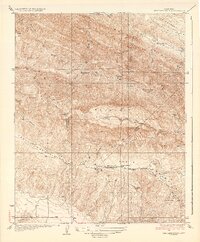
1937 · The Dark Hole
USGS Topo · 1:31,680
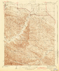
1941 · Kreyenhagen Hills
USGS Topo · 1:31,680