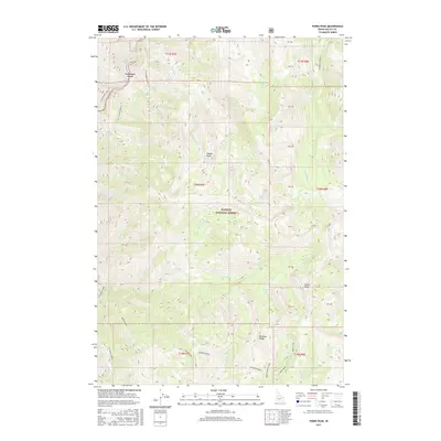
2017 Map of Parks Peak
USGS Topo · Published 2017About this map
Lawman Ford serves as a historic crossing point along the S F Salmon River in this high-elevation corner of the Payette National Forest. The landscape is defined by massive topographic features including the sprawling Rainbow Ridge and the prominent Parks Peak, which rises above a complex network of drainages such as S F Sheep Creek and N Fork Sheep Cr. This 2017 survey captures the wilderness character of Valley County, where accessibility is limited to rugged routes like the Parks Peak Cut-Off. Smaller landmarks like Savage Point and Rock Lake provide specific waypoints for navigation through the dense drainage basins of Ditch Cr and W Fork Elk Creek. The map illustrates a region where land use is dictated by the steep verticality of the Idaho backcountry and protected national forest boundaries.
Find a feature on this map
44 named features on this map. Tap any name to fly to it.
Don’t see what you’re looking for? This feature index may not catch every label — zoom into the map to look around manually.
Map Details
Editions of this 2017 Parks Peak Map
This is the sole edition of this map. No revisions or reprints were ever made.
Other maps of this area

1937 · Yellow Pine
USGS Topo · 1:48,000

1937 · Big Creek
USGS Topo · 1:48,000

1942 · Big Creek
USGS Topo · 1:62,500

1943 · Yellow Pine
USGS Topo · 1:62,500

1956 · Elk City
USGS Topo · 1:250,000

1957 · Challis
USGS Topo · 1:250,000

1960 · Elk City
USGS Topo · 1:250,000

1960 · Challis
USGS Topo · 1:250,000

1963 · Challis
USGS Topo · 1:250,000

1969 · Profile Gap
USGS Topo · 1:24,000