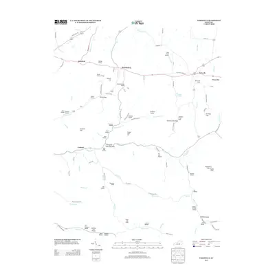
2013 Map of Parksville
USGS Topo · Published 2013About this map
Parksville and Mitchellsburg anchor this central Kentucky landscape, which is defined by the winding course of the Chaplin River and the N Rolling Fork. The terrain transitions from the broader river bottoms of Sign Post Bottom and Crane-Island to the prominent relief of Mitchellsburg Knob, Scrubgrass Knob, and Sherman Knob. Local connectivity is reflected in a dense network of valley roads and rural lanes such as Chambers Cemetery Rd and Old Mitchellsburg Rd.
Find a feature on this map
108 named features on this map. Tap any name to fly to it.
Don’t see what you’re looking for? This feature index may not catch every label — zoom into the map to look around manually.
Map Details
Editions of this 2013 Parksville Map
This is the sole edition of this map. No revisions or reprints were ever made.
Other maps of this area

1905 · Harrodsburg
USGS Topo · 1:125,000

1952 · Perryville
USGS Topo · 1:24,000

1952 · Ellisburg
USGS Topo · 1:24,000

1952 · Hustonville
USGS Topo · 1:24,000

1952 · Danville
USGS Topo · 1:24,000

1952 · Junction City
USGS Topo · 1:24,000

1952 · Parksville
USGS Topo · 1:24,000

1953 · Mackville
USGS Topo · 1:24,000

1953 · Bradfordsville NE
USGS Topo · 1:24,000

1953 · Gravel Switch
USGS Topo · 1:24,000