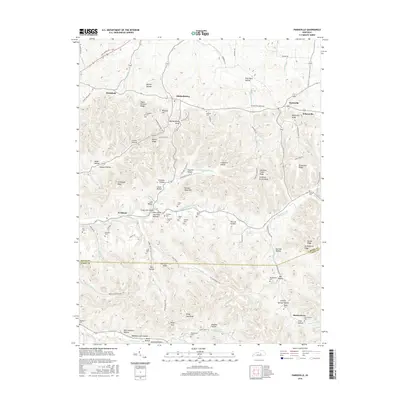
2016 Map of Parksville
USGS Topo · Published 2016About this map
Mitchellsburg and Parksville serve as central points in this portion of central Kentucky, where the landscape is defined by the drainages of the North Rolling Fork and the Chaplin River. The terrain is deeply carved by numerous hollows and ridges, such as Peach Orchard Ridge and Tennessee Ridge, which have historically dictated the placement of small agricultural settlements and family cemeteries. These burial grounds, including the Chambers Cem, Purdom Cem, and Elder Cem, are scattered across the knobs and valley floors, providing a dense network of genealogical data points. The transition from Boyle Co into Casey Co is marked by significant topographical features like Kings Gap and the rising elevation of Huckleberry Ridge. The map details a complex system of local roads and watercourses like Doctors Fork that continue to shape the rural character of this region.
Find a feature on this map
113 named features on this map. Tap any name to fly to it.
Don’t see what you’re looking for? This feature index may not catch every label — zoom into the map to look around manually.
Map Details
Editions of this 2016 Parksville Map
This is the sole edition of this map. No revisions or reprints were ever made.
Other maps of this area

1905 · Harrodsburg
USGS Topo · 1:125,000

1952 · Perryville
USGS Topo · 1:24,000

1952 · Ellisburg
USGS Topo · 1:24,000

1952 · Hustonville
USGS Topo · 1:24,000

1952 · Danville
USGS Topo · 1:24,000

1952 · Junction City
USGS Topo · 1:24,000

1952 · Parksville
USGS Topo · 1:24,000

1953 · Mackville
USGS Topo · 1:24,000

1953 · Bradfordsville NE
USGS Topo · 1:24,000

1953 · Gravel Switch
USGS Topo · 1:24,000