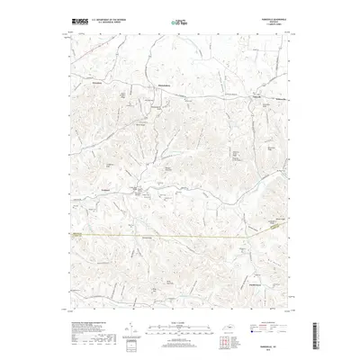
2019 Map of Parksville
USGS Topo · Published 2019About this map
Mitchellsburg and Parksville serve as central points in this landscape where the Boyle County and Casey County line traverses a dense network of ridges and hollows. The terrain is defined by prominent elevations like Mitchellsburg Knob, Parksville Knob, and Hungry Neck Hill, while the North Rolling Fork and Chaplin River drain the surrounding valley floors. Genealogists will find a high density of family-named burial sites, including the Whitehouse Cem, Vaught Cem, and Southerland Cem, many located near old crossroads and small settlements like Forkland and Butchertown. Unique landmarks such as Hungry Neck Bridge and Sign Post Bottom reflect the local nomenclature of this rural Kentucky region, while gaps in the ridgeline like Kings Gap indicate historical passage points between the county's high ground and the watercourses below.
Find a feature on this map
103 named features on this map. Tap any name to fly to it.
Don’t see what you’re looking for? This feature index may not catch every label — zoom into the map to look around manually.
Map Details
Editions of this 2019 Parksville Map
This is the sole edition of this map. No revisions or reprints were ever made.
Other maps of this area

1905 · Harrodsburg
USGS Topo · 1:125,000

1952 · Perryville
USGS Topo · 1:24,000

1952 · Ellisburg
USGS Topo · 1:24,000

1952 · Hustonville
USGS Topo · 1:24,000

1952 · Danville
USGS Topo · 1:24,000

1952 · Junction City
USGS Topo · 1:24,000

1952 · Parksville
USGS Topo · 1:24,000

1953 · Mackville
USGS Topo · 1:24,000

1953 · Bradfordsville NE
USGS Topo · 1:24,000

1953 · Gravel Switch
USGS Topo · 1:24,000