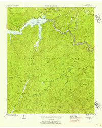
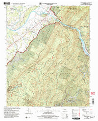
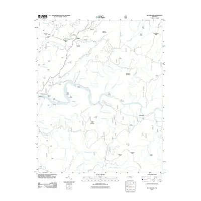
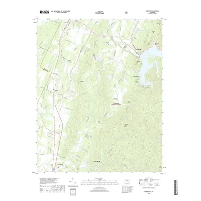
1942 Map of Parksville
USGS Topo · Published 1960About this map
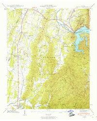
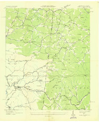
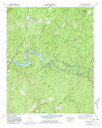
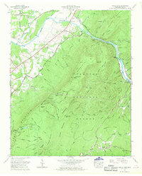
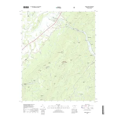
Lake Ocoee, also known as Parksville Lake, dominates the northeastern corner of this 1942 survey, showing the industrial influence of the Ocoee Power Plant Dam No 1 on the Ocoee River. The landscape is a mix of protected wilderness and established rural communities, with the Blue Ridge Mountains and Chilhowee Mountain framing the eastern edge within the Cherokee National Forest. The Louisville and Nashville railroad runs north-south through the western valley, serving settlements like Oldfort and Conasauga. Local life in the early 1940s is anchored by several rural landmarks, including the Horns Creek School, Antioch Church, and Cumberland Shed Church. The map also captures several family-named burial sites such as Muller Cem, Dills Cem, and Hillard-Ladd Cem, providing valuable detail for genealogical research in this part of Polk County.
Find a feature on this map
90 named features on this map. Tap any name to fly to it.
Don’t see what you’re looking for? This feature index may not catch every label — zoom into the map to look around manually.
Map Details
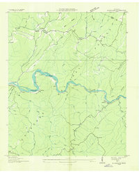
Editions of this 1942 Parksville Map
2 editions found
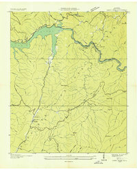
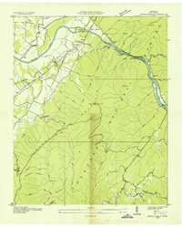
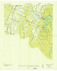
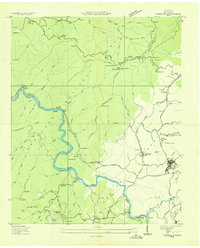
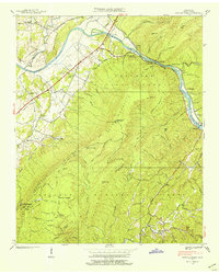
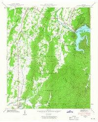
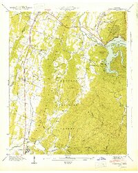
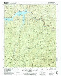
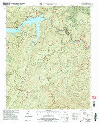
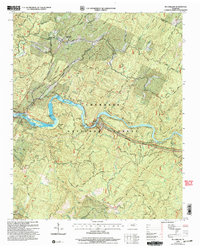
Historical Maps of Ocoee Through Time
46 maps found
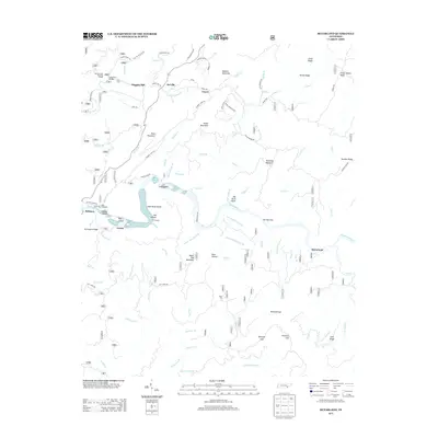
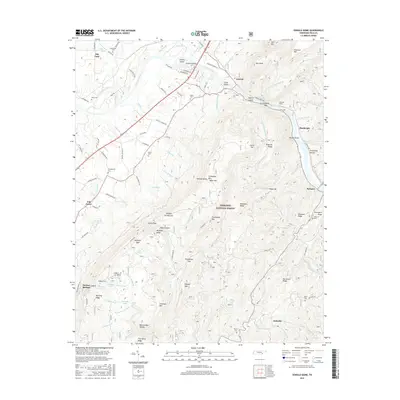
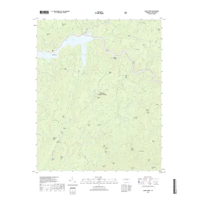
1935 Caney Creek
Polk County, TN
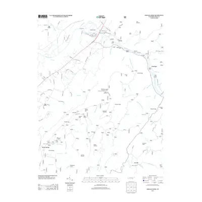
1935 Oswald Bald
Polk County, TN
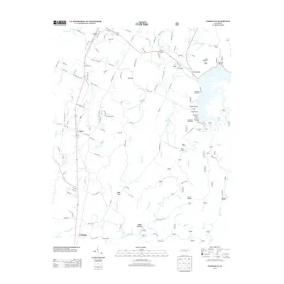
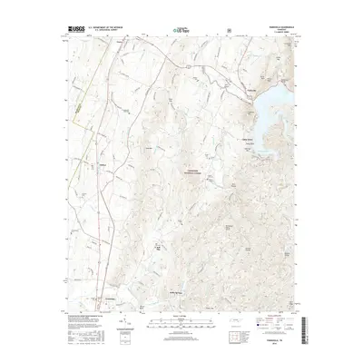
1935 Parksville
Polk County, TN
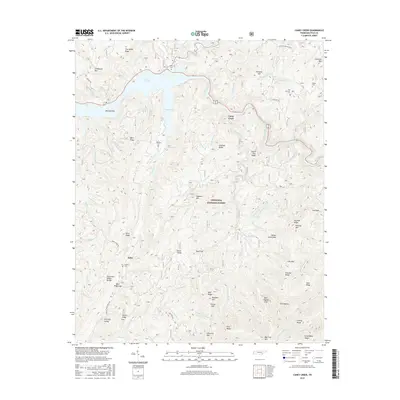
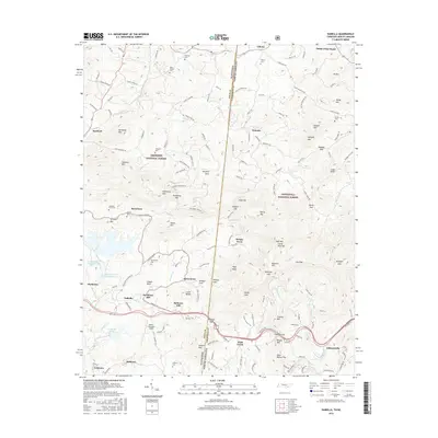
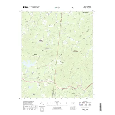
1936 Isabella
Polk County, TN
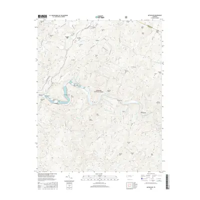
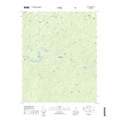
1936 Mc Farland
Polk County, TN
1936 Postelle
Polk County, TN
1937 Oswald Dome
Polk County, TN
1938 Caney Creek
Polk County, TN
1938 Oswald Dome
Polk County, TN
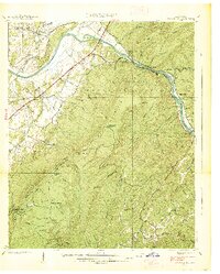
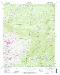
1942 Parksville
Polk County, TN
1943 Parksville
Polk County, TN
1957 Isabella
Polk County, TN
1957 Mc Farland
Polk County, TN
1966 Parksville
Polk County, TN
1967 Caney Creek
Polk County, TN
1967 Oswald Dome
Polk County, TN
1999 Caney Creek
Polk County, TN
2003 Caney Creek
Polk County, TN
2003 Mc Farland
Polk County, TN
2003 Oswald Dome
Polk County, TN
2003 Parksville
Polk County, TN
2011 Caney Creek
Polk County, TN
2011 Isabella
Polk County, TN
2011 McFarland
Polk County, TN
2011 Oswald Dome
Polk County, TN

2011 Parksville
Polk County, TN
2013 Caney Creek
Polk County, TN
2013 Isabella
Polk County, TN
2013 McFarland
Polk County, TN
2013 Oswald Dome
Polk County, TN
2013 Parksville
Polk County, TN
2016 Caney Creek
Polk County, TN
2016 Isabella
Polk County, TN
2016 McFarland
Polk County, TN
2016 Oswald Dome
Polk County, TN
2016 Parksville
Polk County, TN
2019 Caney Creek
Polk County, TN
2019 Isabella
Polk County, TN
2019 McFarland
Polk County, TN
2019 Oswald Dome
Polk County, TN
2019 Parksville
Polk County, TN
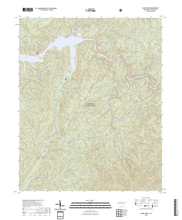
2022 Caney Creek
Polk County, TN
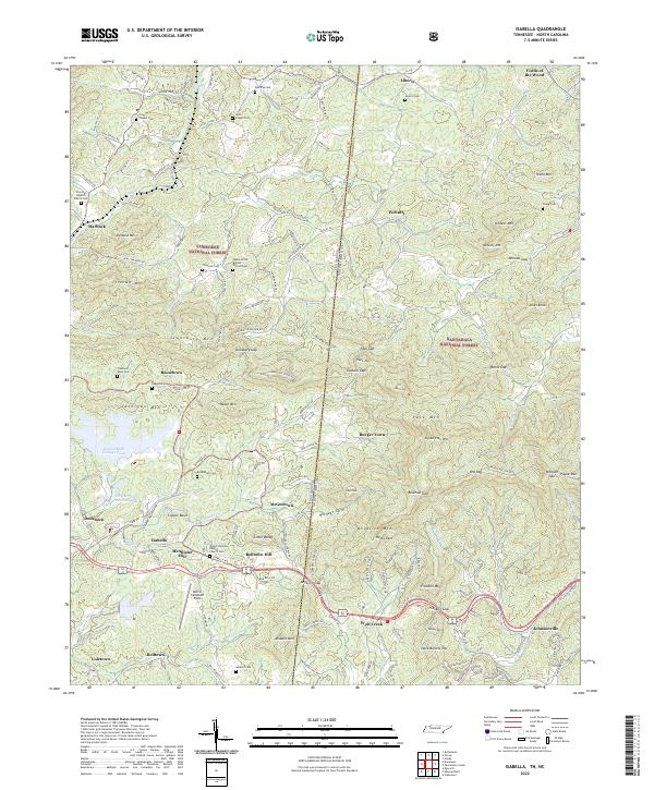
2022 Isabella
Polk County, TN
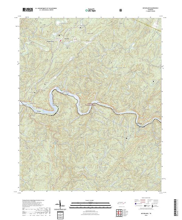
2022 McFarland
Polk County, TN
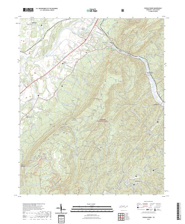
2022 Oswald Dome
Polk County, TN
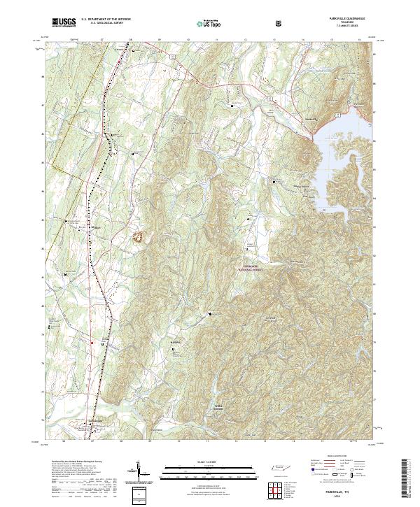
2022 Parksville
Polk County, TN