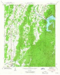
1942 Map of Parksville
USGS Topo · Published 1966About this map
Lake Ocoee, also known as Parksville Lake, dominates the northeastern corner of this 1942 Tennessee Valley Authority and USGS survey. The landscape is defined by the massive infrastructure of the Ocoee Power Plant Dam No 1, which harnessed the Ocoee River to power the region's developing industry. Along the southern banks, recreational sites like Camp Ocoee and Shady Beach sit adjacent to the dense woodlands of the Cherokee National Forest.
Find a feature on this map
59 named features on this map. Tap any name to fly to it.
Don’t see what you’re looking for? This feature index may not catch every label — zoom into the map to look around manually.
Map Details
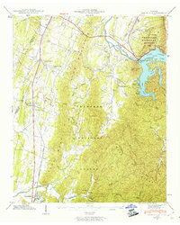
Editions of this 1942 Parksville Map
2 editions found
Other maps of this area

1886 · Dalton
USGS Topo · 1:125,000

1886 · Cleveland
USGS Topo · 1:125,000

1892 · Cleveland
USGS Topo · 1:125,000

1892 · Dalton
USGS Topo · 1:125,000

1895 · Cleveland
USGS Topo · 1:125,000

1897 · Dalton
USGS Topo · 1:125,000

1901 · Cleveland
USGS Topo · 1:125,000

1911 · Cohutta Mtn
USGS Topo · 1:62,500

1913 · Cohutta Mtn.
USGS Topo · 1:62,500

1935 · East Cleveland
USGS Topo · 1:24,000