Loading...
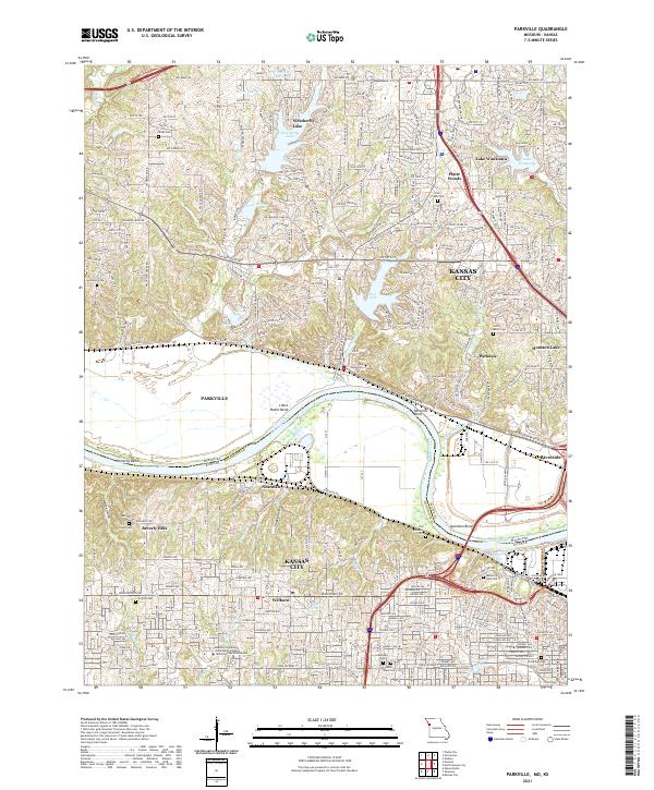
Loading map...2021 Map of Parkville
USGS Topo · Published 2021About this map
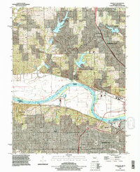
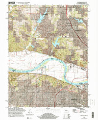
The Missouri River carves a dramatic S-curve through this landscape, defining the border between Platte and Wyandotte Counties. Along the northern banks, Parkville sits at the foot of steep bluffs, home to the campus of Park University. The river's influence is evident in the named bends like Pomeroy Bend, Little Platte Bend, and Quindaro Bend, which historically dictated the flow of commerce and the placement of the BNSF Railway tracks that hug the shoreline.
Find a feature on this map
66 named features on this map. Tap any name to fly to it.
Don’t see what you’re looking for? This feature index may not catch every label — zoom into the map to look around manually.
Map Details
Date Portrayed2021
Date Published2021
PublisherU.S. Geological Survey
Map TypeTopographic
Scale1:24000
Physical Dimensions24 x 29 inches
Editions of this 2021 Parkville Map
This is the sole edition of this map. No revisions or reprints were ever made.
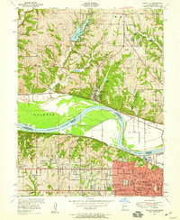
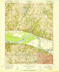
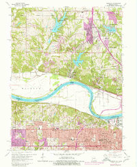
Historical Maps of Parkdale Through Time
6 maps found
Featured Locations
Source Details
SourceU.S. Geological Survey
CopyrightPublic Domain