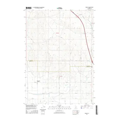
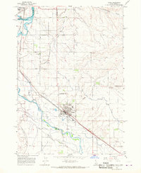
2017 Map of Parma SE
USGS Topo · Published 2017About this map
Agricultural irrigation networks define the landscape south of the Payette and Canyon County line, where complex water engineering transforms the high desert terrain. The Farmers Cooperative Sebree Canal and Black Canyon Canal are prominent features, facilitating local farming across the t6n r4w and t5n r4w townships. These man-made waterways, alongside the Notus Canal and D-Line Canal, illustrate the intensive labor required to manage water rights in this region.
Find a feature on this map
38 named features on this map. Tap any name to fly to it.
Don’t see what you’re looking for? This feature index may not catch every label — zoom into the map to look around manually.
Map Details
Editions of this 2017 Parma SE Map
This is the sole edition of this map. No revisions or reprints were ever made.
Other maps of this area

1898 · Nampa
USGS Topo · 1:125,000

1955 · Boise
USGS Topo · 1:250,000

1957 · Wilder
USGS Topo · 1:24,000

1957 · Notus
USGS Topo · 1:24,000

1958 · Boise
USGS Topo · 1:250,000
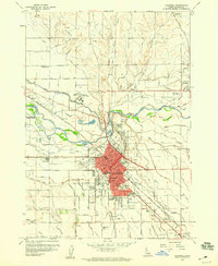
1958 · Caldwell
USGS Topo · 1:24,000

1962 · Boise
USGS Topo · 1:250,000
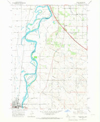
1965 · Nyssa
USGS Topo · 1:24,000
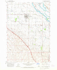
1965 · New Plymouth
USGS Topo · 1:24,000
1965 · Parma
USGS Topo · 1:24,000