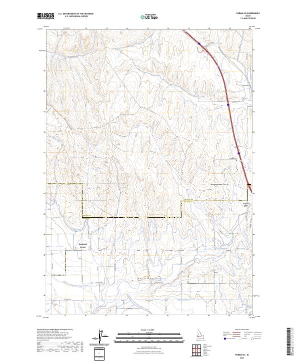
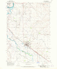
2023 Map of Parma SE
USGS Topo · Published 2023About this map
Rookstool Corner anchors the agricultural landscape of this southwestern Idaho region, where the border between Payette and Canyon counties meets a complex network of irrigation infrastructure. The terrain is defined by the vital movement of water through the Farmers Cooperative Sebree Canal, Notus Canal, and the elevated Black Canyon Canal, which together transformed this arid portion of the Boise Valley into productive farmland. The map reveals the intricate drainage patterns of the Sand Hollow area, with natural features like Sand Hollow Creek and Homestead Gulch interspersed among a rigid grid of rural roads. This 2023 survey illustrates the enduring legacy of early 20th-century reclamation projects that continue to sustain local agriculture today.
Find a feature on this map
45 named features on this map. Tap any name to fly to it.
Don’t see what you’re looking for? This feature index may not catch every label — zoom into the map to look around manually.
Map Details
Editions of this 2023 Parma SE Map
This is the sole edition of this map. No revisions or reprints were ever made.
Other maps of this area

1898 · Nampa
USGS Topo · 1:125,000

1955 · Boise
USGS Topo · 1:250,000

1957 · Wilder
USGS Topo · 1:24,000

1957 · Notus
USGS Topo · 1:24,000

1958 · Boise
USGS Topo · 1:250,000
1958 · Caldwell
USGS Topo · 1:24,000

1962 · Boise
USGS Topo · 1:250,000
1965 · Nyssa
USGS Topo · 1:24,000
1965 · New Plymouth
USGS Topo · 1:24,000
1965 · Parma
USGS Topo · 1:24,000